|
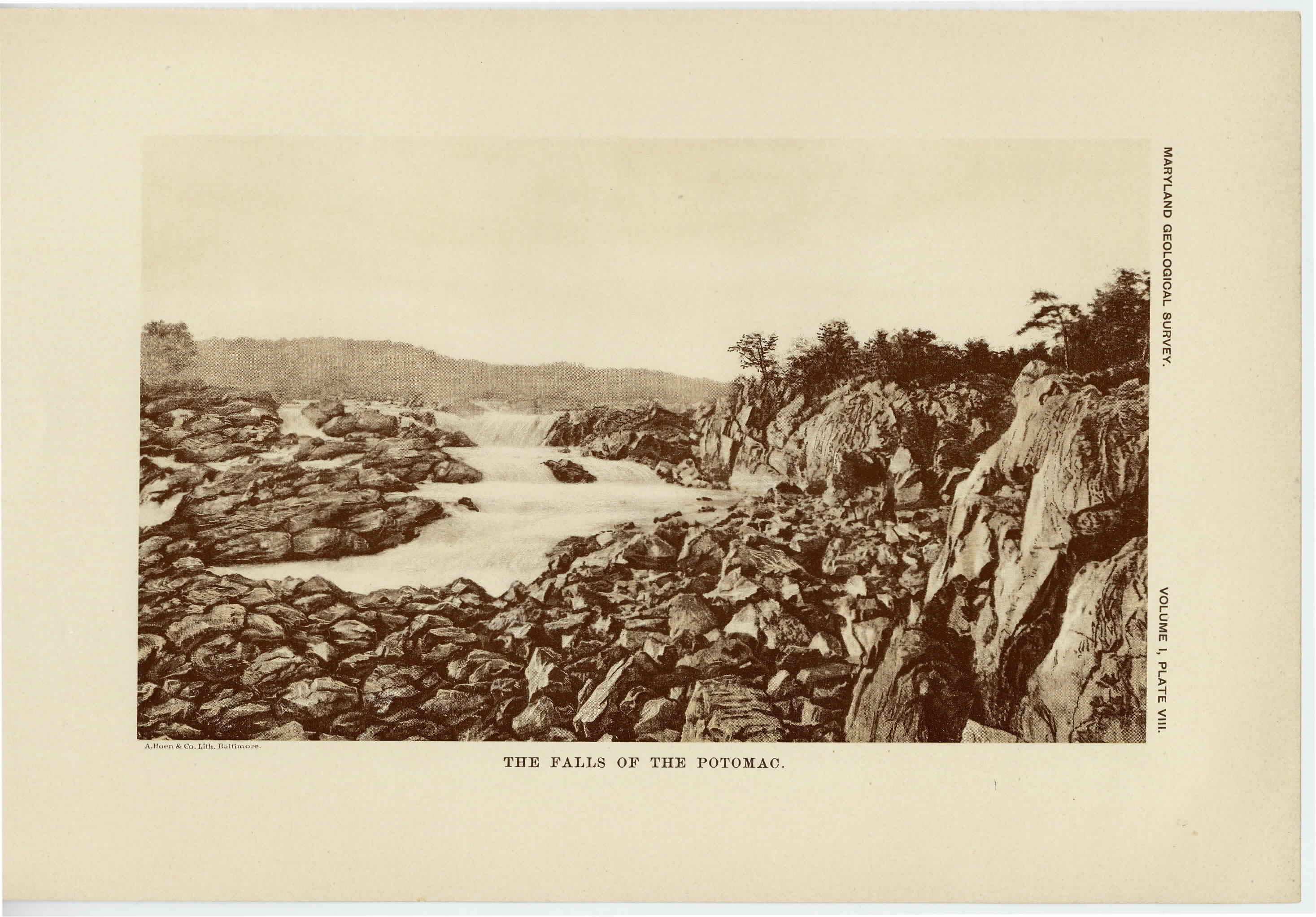
[Next page is an image: The Falls of the Potomac]
148 PHYSIOGRAPHY, GEOLOGY AND MINERAL RESOURCES
it formerly held. It turns again by a long sweep to the southeast and
flows in that direction to the Chesapeake Bay. The local drainage
of the western division possesses the characteristics which have already
been described for the eastern section, in that the streams throughout
Southern Maryland flow, chiefly to the westward. For example, the
watershed of the country lying between the Chesapeake Bay and the
Patuxent river is situated but a slight distance from the shores of the
former, so that most of the natural drainage of Calvert county reaches
the Patuxent river. A still more striking exhibition of this is seen in
St. Mary's, Charles and Prince George's counties, where the streams
nearly all flow to the Potomac river, the watershed of the region
approaching very close to the valley of the Patuxent. The same
peculiarity in the drainage is found to the southward in Virginia and
the Carolinas.
THE PIEDMONT PLATEAU.
The Piedmont Plateau borders the Coastal Plain upon the west and
extends to the base of the Catoctin Mountain. It includes approxi-
mately 2500 square miles, or somewhat over one-quarter of the land
area of the state. It is about 65 miles in width in the northern por-
tion of the region, but gradually narrows toward the south until it
becomes somewhat less than 40 miles broad. It includes all, or the
greater part, of Montgomery, Howard, Baltimore, Harford, Carroll
and Frederick counties. The region is broken by low undulating
hills which gradually increase in elevation from its eastern margin
until they culminate near the central portion of the area in Parr's
Ridge. This ridge divides the district into an eastern and a western
division, the latter gradually sloping into the Frederick Valley. The
major drainage of the area shows but little relation to the underlying
rocks, but gives evidence of having been superimposed through a
cover of sedimentary materials which may have been the westward
extension of the present Coastal Plain, although more recent adjust-
ments to the underlying rocks have taken place.
The eastern division of the Piedmont Plateau has, on account of its
varied crystalline rocks and their complicated structure, a highly
|
 |