|
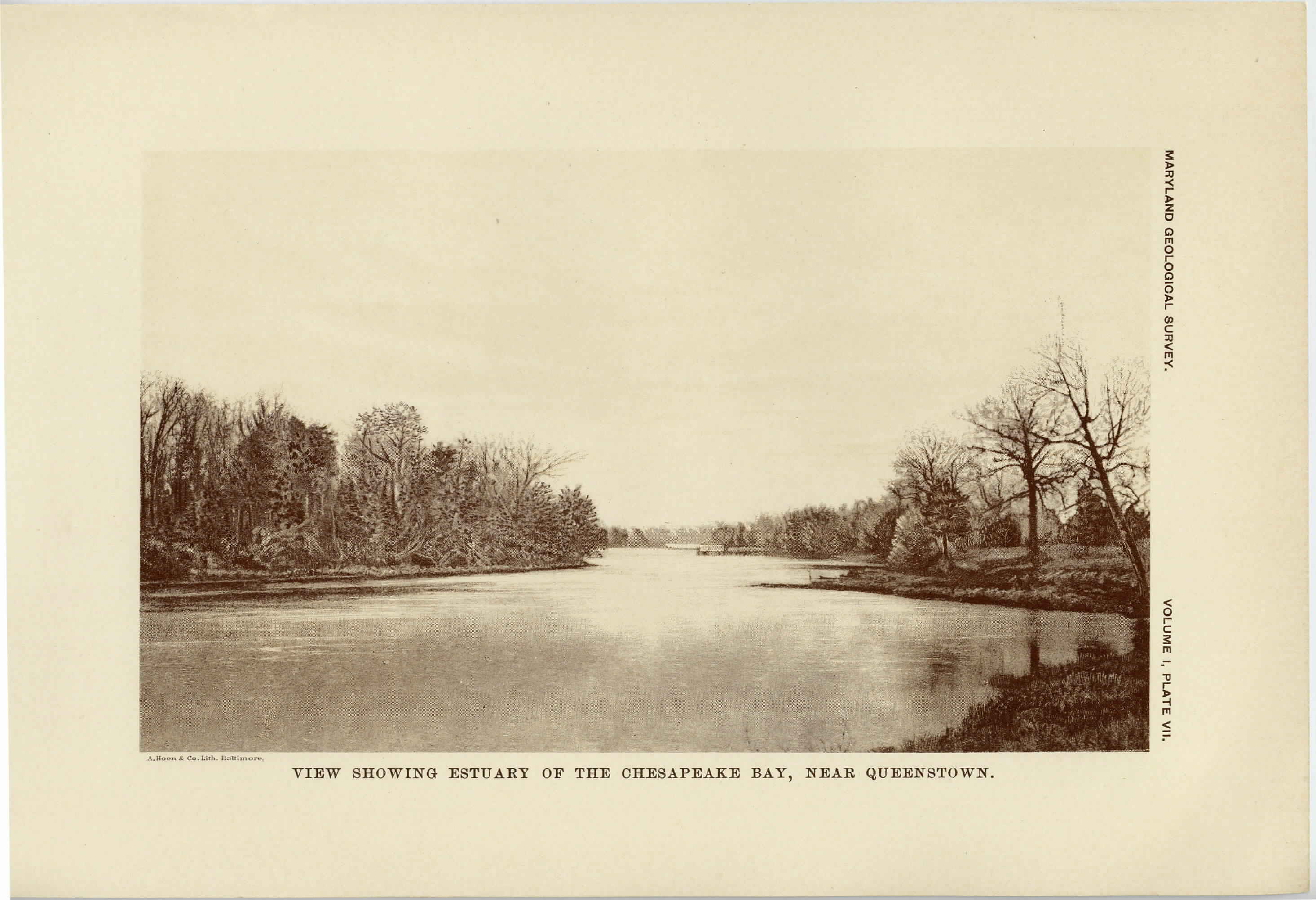
[Preceding page is an image: View showing Estuary of the Chesapeake Bay near Queenstown]
MARYLAND GEOLOGICAL SURVEY 147
simple, the streams flowing from the watershed directly to the Atlantic
Ocean and Delaware Bay upon the east, and to the Chesapeake Bay
upon the west. The position of the watershed along the extreme
eastern margin of the area is very striking; in Worcester county for
much of the distance it is only a few miles distant from the Atlantic
shore, and as a result the streams which flow to the east are small in
comparison to those which drain toward the west. Among the most
important rivers which reach the Chesapeake Bay from this area are
the Pocomoke, Nanticoke, Choptank and Chester, which all have
their headwaters within the state of Delaware and flow in a general
southwest direction with sinuous channels.
The western division includes the counties of St. Mary's, Calvert,
Charles, Prince George's, Anne Arundel, and portions of Baltimore,
Harford and Cecil. In elevation this region stands in striking con-
trast to the eastern division, since it frequently has an altitude of 100
feet even along its eastern margin. In lower St. Mary's county the
land reaches an elevation of 100 feet on the Bay shore, which is grad-
ually increased westward, until, near the border of Charles county,
it slightly exceeds 180 feet. In southern Calvert county an eleva-
tion of 140 feet is found to the west of Cove Point and this gradually
increases to the northward and northwestward until near the southern
border of Anne Arundel county the land rises above 180 feet.
Throughout the western portion of this division in Charles, Prince
George's and Anne Arundel counties the land gradually increases in
height toward the border, reaching 280 feet to the east of Washing-
ton and very nearly the same elevation in the area to the south of
Baltimore. Outlying patches of the Coastal Plain, as determined by
their geological characteristics, are found at still higher elevations.
This western division is traversed by several rivers which flow from
the Piedmont Plateau, among the more important being the Potomac,
Patuxent, Patapsco, Gunpowder and Susquehanna. The course of
the Potomac is especially striking. After flowing in a nearly south-
east direction across the hard rocks of the Piedmont Plateau, it is appar-
ently abruptly turned aside by the soft materials of the Coastal Plain,
and takes a course for forty miles nearly at right angles to that which
|
 |