|
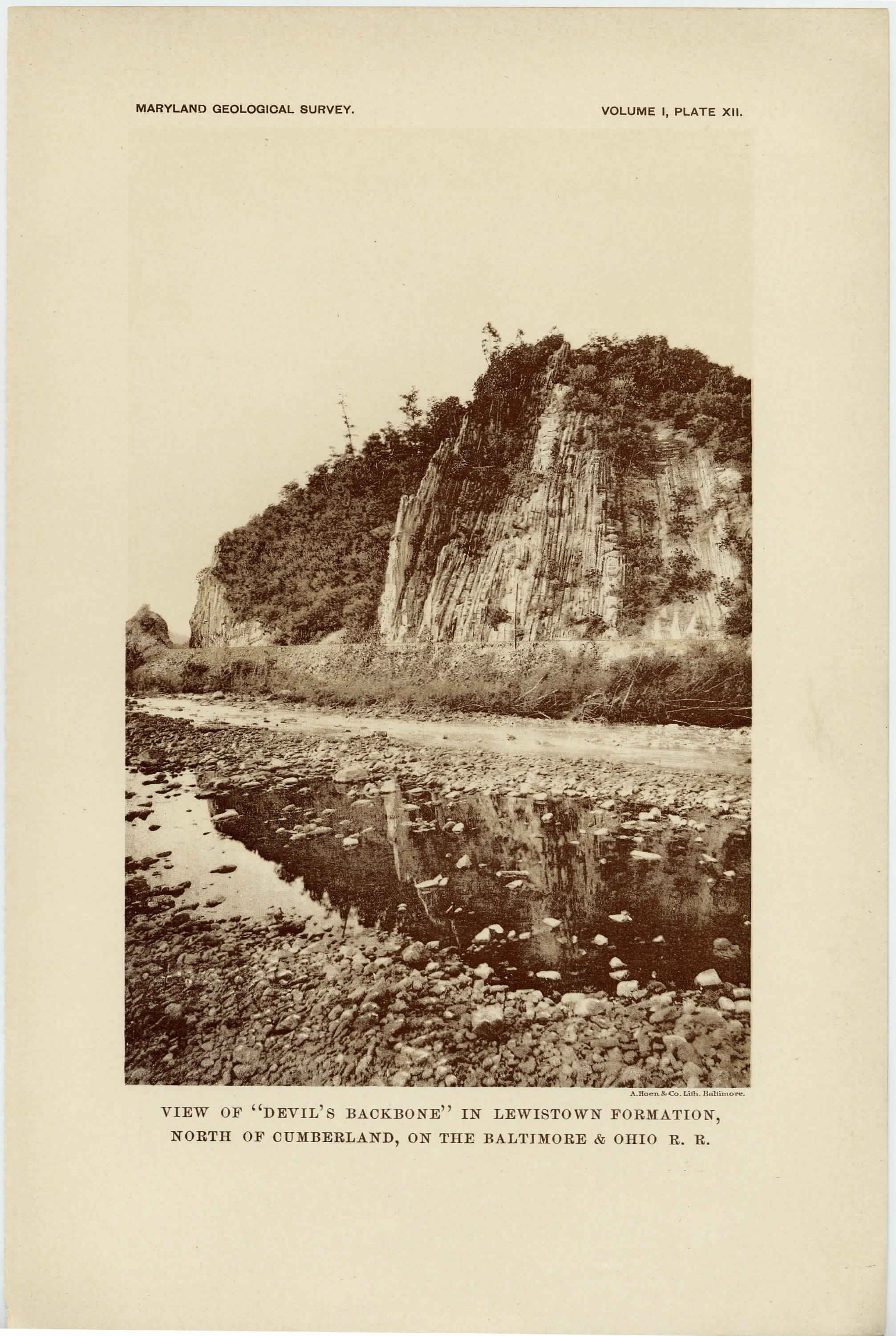
[Preceding page is an image: View of "Devil's Backbone" in Lewistown Formation north of Cumberland, on the Baltimore and Ohio Railroad]
MARYLAND GEOLOGICAL SURVEY 187
Several bands of blue limestone are also found in this division. The
upper member of the Bayard formation consists of thick-bedded sand-
stones, sometimes flaggy, but almost always without traces of coal.
Its lithologic characters serve as a guide, however, to the location of
the underlying coals. The Bayard formation has a thickness of
about 400 feet.
THE FAIRFAX FORMATION. —The Fairfax formation, so called
from Fairfax, West Virginia, has only been observed to the east of
the Alleghany front in western Allegany and eastern Garrett count-
ies, where it occurs in a restricted area in the basin of the North
Branch of the Potomac river and its tributaries. This formation is
mainly composed of shales in which argillaceous sandstone beds are
interstratified. It contains little carbonaceous material and has been
referred to as the Barren Measures. There is, however, an " 18-inch
Vein, " which generally bears coal of good quality, found about 50
feet below the top of the formation. At about the centre of the
formation there is an impure carbonaceous bed that is locally known
as " The Dirty Nine, " but which has no economic value. The Fairfax
formation has a thickness of about 300 feet.
THE ELKGARDEN FORMATION. —The Elkgarden formation, so
called from Elkgarden, West Virginia, is like the Fairfax formation
confined to the valley of the North Branch of the Potomac river and
its tributaries, and is especially well developed in the central and
northern portions of the George's Creek Valley in western Allegany
county. The formation consists for the most part of shales in which
are interbedded several sandstone layers and two important coal seams.
The most important coal vein is situated at the base of the formation
and is called the " Big Vein " or the " Fourteen-foot Vein. " It is the
most important coal-bearing seam in Maryland and is known in Penn-
sylvania as the " Pittsburg Vein. " It affords coal of high quality and
great purity, and has been a source of great wealth to the state. It
varies in thickness, commonly from 10 to 14 feet, but in local areas
has been found to reach 17 feet. About 115 feet above the top of
the " Big Vein " is a coal seam which is known as the " Gas Coal " or
" Tyson Vein. " It has a thickness of from 3 to 7 feet. The thick-
ness of the Elkgarden formation is about 250 feet.
|
 |