|
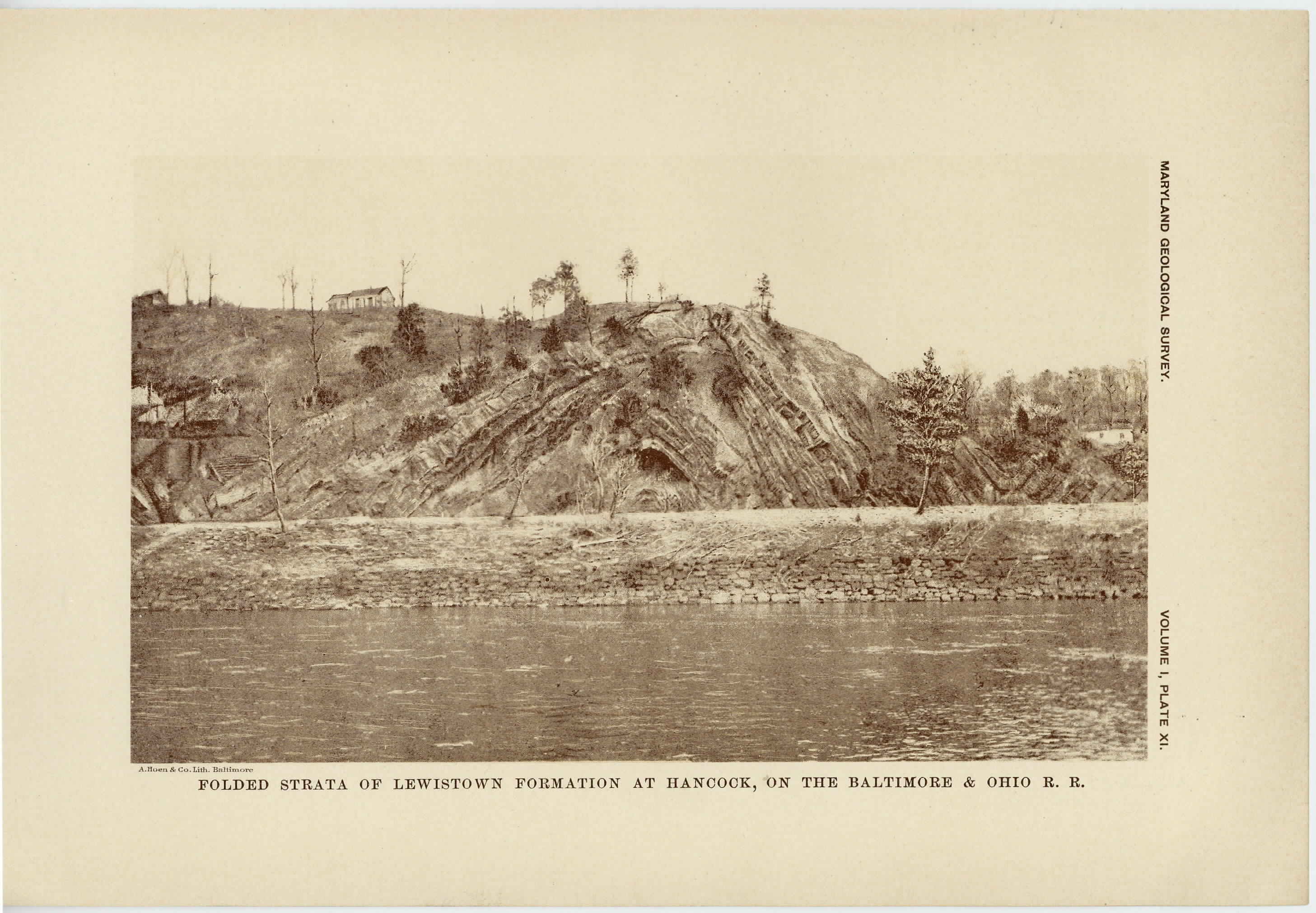
[Preceding page is an image: Folded Strata of Lewistown Formation at Hancock, on the Baltimore and Ohio Railroad]
MARYLAND GEOLOGICAL SURVEY 183
Virginia, is confined, like the upper Silurian formations, to the central
division of the Appalachian Region in western Washington and
Allegany counties. The deposits of the Monterey formation are
typically rather coarse-grained, somewhat friable sandstones, white or
yellow in color. At times the materials become very coarse-grained,
resulting in a clearly defined conglomerate, while at other times,
especially in the western portion of the area, the materials are fine-
grained, with here and there interstratified layers of coarser materials.
These deposits afford excellent glass sand. The sandstone is very
fossiliferous and carries the typical Oriskany fauna of the north. The
formation has a thickness of about 300 feet.
THE ROMNEY FORMATION (Hamilton shales). —The Romney
formation, so called from its typical development in Romney, West
Virginia, is also confined to the central division of the Appalachian
Region and occupies very much the same areas as those above given
for the Monterey (Oriskany) sandstones. The formation consists of
black and drab shales with thin bands of limestone. No sandstones
are known to enter into the composition of the deposits, which are
uniformly fine-grained and homogeneous. The strata are fossiliferous
and bear a fauna which is closely related to that of the Hamilton
shales farther north. The formation has a thickness of about 750 feet.
THE JENNINGS FORMATION (Chemung group). —The Jennings
formation, so called from its typical development at Jennings Gap,
Virginia, is found both throughout the central and western divisions
of the Appalachian Region. With the Appalachian mountains proper
it is frequently repeated throughout western Washington and Alle-
gany counties and occurs as the oldest formation represented in the
Alleghany mountains of Garrett county. It underlies the well known
"glades. " The deposits of the Jennings formation consist of dull
green or gray shales with interbedded fine-grained sandstones, although
the latter are not generally prominent. In some instances the sand-
stone beds are sufficiently resistant to form well-marked ridges, as is
shown in the area to the east of Cumberland. Near the top of the
formation there is a conglomerate, which serves to establish the upper
limits of the formation in Maryland. The thickness of the Jennings
|
 |