|
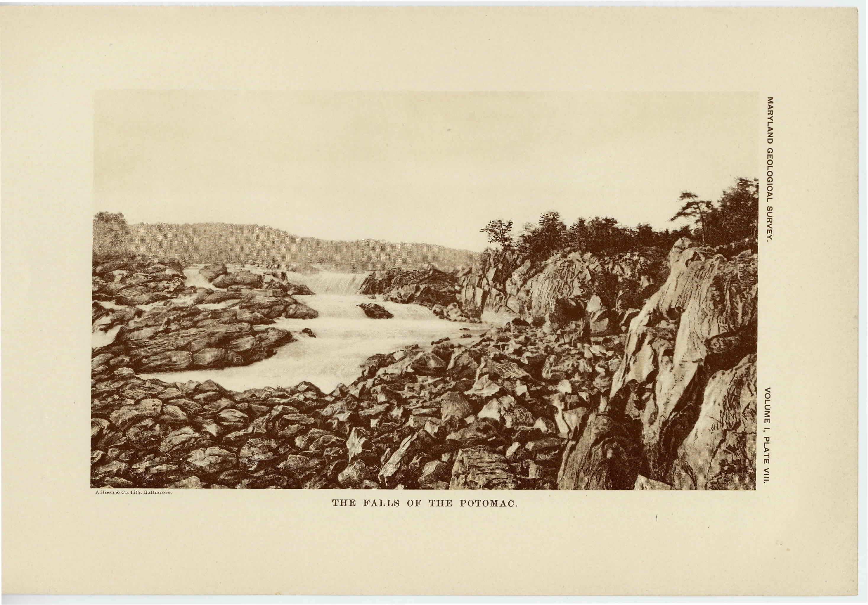
[Preceding page is an image: The Falls of the Potomac]
MARYLAND GEOLOGICAL SURVEY 149
diversified topography. Along the eastern margin the land attains
at several points heights exceeding 400 feet; while at Catonsville it
reaches 525 feet above sea-level. Toward the west and northwest the
land gradually increases until it culminates in Parr's Ridge, which
exceeds 850 feet in Carroll county. The drainage of the eastern
division is mainly to the east and southeast. On its northern and
southern borders it is traversed by the Susquehanna and Potomac
rivers, which have their sources without the area, while the smaller
streams which lie between them drain directly to the Chesapeake Bay
or into the main rivers. Among the most important of these inter-
mediate streams are the Gunpowder, Patapsco and Patuxent rivers,
whose headwaters are situated upon Parr's Ridge. The Patapsco
flows in a deep rocky gorge until it reaches the Relay, where it
debouches into the Coastal Plain. All of these streams have rapid
currents as far as the eastern border of the Piedmont Plateau, and
even in the case of the largest are not navigable. The broad, fertile
limestone valleys to which the present drainage has become partially
adjusted are a striking feature of this area and are well represented to
the north of Baltimore in the Green Spring and Dulaney's valleys.
On account of the complicated character of the stratigraphy, which
will be later discussed, the valleys take different directions and are
of very variable form and extent.
The western division extends from Parr's Ridge to the Catoctin
Mountain. Along its western side is the broad limestone valley in
which Frederick is situated and through which flows the Monocacy
river from north to south, entering the Potomac river at the border
line between Montgomery and Frederick counties. The valley near
Frederick has an elevation of 250 feet above tide, which increases
slowly to the eastward toward Parr's Ridge and very rapidly to the
-westward toward the Catoctin Mountain. Situated on the eastern
side of the valley, just at the mouth of the Monocacy river and break-
ing the regularity of the surface outline, is Sugar Loaf Mountain,
which rises rapid]y from the surrounding plain to a height of 1250
feet. With the exception of a few streams which flow into the
Potomac directly, the entire drainage of the western district is accom-
|
 |