|
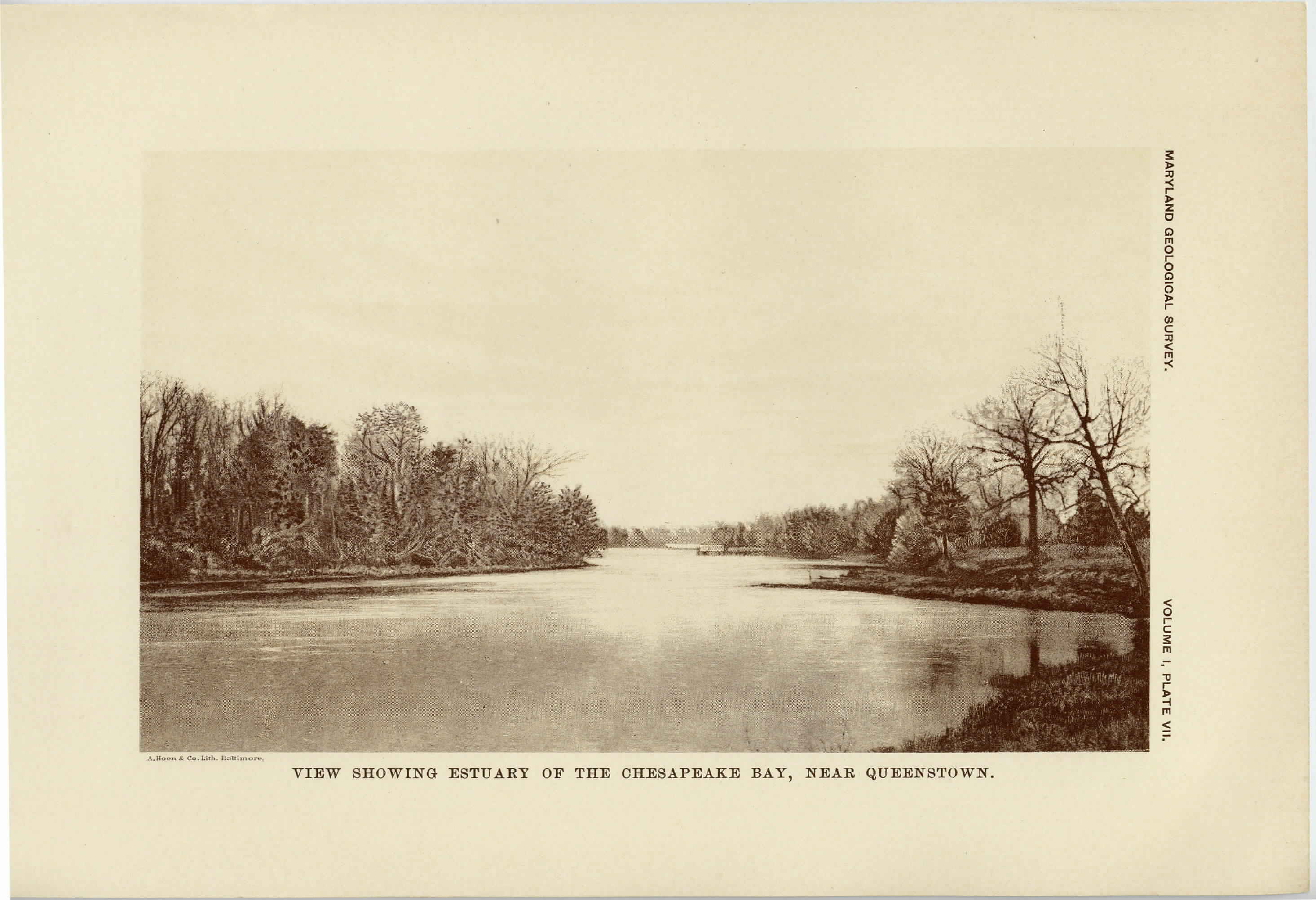
[Next page is an image: View showing Estuary of the Chesapeake Bay near Queenstown]
146 PHYSIOGRAPHY, GEOLOGY AND MINERAL RESOURCES
through Baltimore upon the west. This region comprises very
nearly 5000 square miles, or somewhat over one-half of the land area
of the state, and is about 100 miles broad in its widest part.
The Coastal Plain is formed, for the most part, of level areas of
low land which extend with gradually increasing elevation from the
coastal border, where the whole surface stands very nearly at sea-
level to heights of three hundred feet and more along its western
edge. The region is cut quite to the border of the Piedmont Plateau
by tidal estuaries, and the topography becomes more and more
pronounced in passing inland from the coast. The Chesapeake Bay
extends nearly across its full length from south to north, while the
larger rivers and their tributaries deeply indent the country in all
directions, making the coast-line of Maryland one of the longest in
the country. The drainage of the region, except near the margin,
of the Coastal Plain, and in some of the larger rivers which rise with-
out the area, is consequent upon the present surface of the land, but
has been considerably modified by oscillations in level. These oscil-
lations have left the lower courses of the streams submerged, pro-
ducing the Chesapeake Bay and the other tidal estuaries of the state.
The Coastal Plain in Maryland may be divided into a lower eastern
and a higher western division, separated by the Chesapeake Bay.
The former is known under the name of Eastern Maryland (or Eastern
Shore), while the latter is commonly referred to as Southern Mary-
land.
The eastern division includes the counties of Worcester, Somerset,
Dorchester, Caroline, Talbot, Queen Anne's, Kent and part of Cecil.
To this region most of the state of Delaware properly belongs. No-
where, except in the extreme north, does the country reach 100 feet
in elevation, while most of it is below 25 feet in height. Both on the
Atlantic coast and more especially upon the shores of the Chesapeake
Bay it is deeply indented by bays and estuaries. The Atlantic coast
especially shows very strikingly the result of sand-bar construction
and the lagoons and inlets which are formed in consequence of it.
The Chincoteague Bay is one of the most characteristic lagoons of
this type on the Atlantic coast. The drainage of the region is
|
 |