|
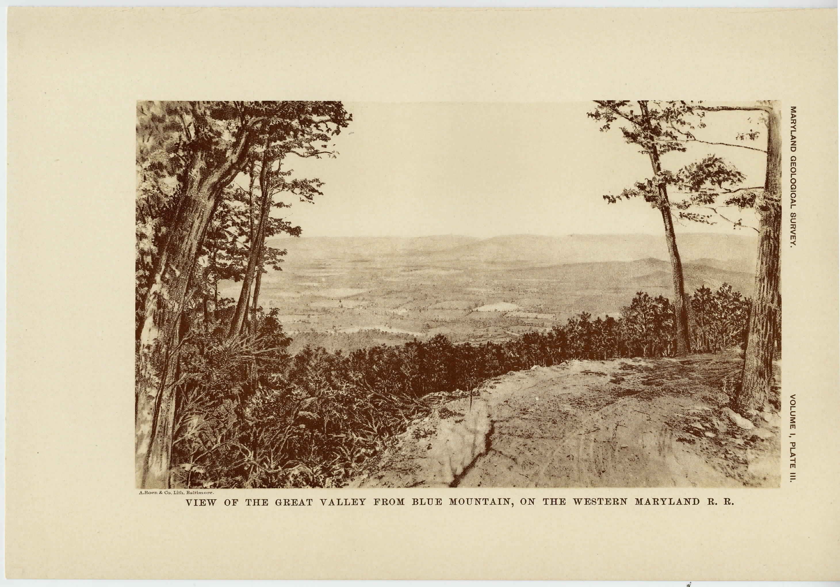
[The preceeding page is an image: View of the Great Valley from Blue Mountain, on the Western Maryland Railroad]
MARYLAND GEOLOGICAL SURVEY 105
region adjacent to the Potomac river in the District of Columbia,
Maryland and Virginia. Mr. McGee at once began making obser-
vations in the vicinity of Washington and the immediately adjoining
portions of Montgomery and Prince George's counties, Maryland,
and in this and several years following he made numerous local trips
which threw much new light upon the obscure problems of the gen-
eral relations of the Coastal Plain formations.
In 1884 he also made several trips westward over the adjoining
provinces, one journey extending along the Potomac river to its
source.
In July and August, 1885, he made a short trip with Profs. W. M.
Fontaine and Lester F. Ward along the Potomac formations in Mary-
land and Virginia.
The first publication of the results of Mr. McGee's observations
in the vicinity of Washington was in the report of the Health Officer
of the District of Columbia for the year ending June 30, 1885. 1 A
more extended memoir followed, entitled, " Three Formations of the
Middle Atlantic Slope. "2 In this paper there was defined the
Columbia, Appomattox (now Lafayette) and Potomac formations, and
some account was given of their distribution and relations in eastern
Virginia, District of Columbia and Maryland. An account of the
Columbia formation was also given to the American Association for
the Advancement of Science in 1888. 3
In July, 1886, Mr. McGee made a trip to the region about the
head of Chesapeake Bay to determine the prospects for an artesian
water supply for the Fishing Battery Station. Facilities for this
trip were given by the officials of the United States Fish Commission.
On a short subsequent visit to the region Mr. McGee was accom-
panied by Prof. Lester F. Ward, who gave special attention to the
Potomac formation and its plant remains. The results of Mr. Mc-
Gee's observations were published in a paper entitled " The Geology
of the Head of Chesapeake Bay. " 4
1 Pages 19, 20, 23, 25, Washington, 1886.
2 Am. Jour. Sci., 3d series, vol. xxxv, pp. 120-143, 328-331, 367-388, 448-466,
pls. ii, vi, vii.
3 Proc. Am. Assoc. Adv. Sci., vol. xxxvi, pp. 221-222.
4 7th Ann. Rept. U. S. Geol. Survey (for 1SS5-86), 1888, pp. 537-646, pls. 56-71.
|
 |