clear space clear space clear space white space
A
 r c h i v e s   o f   M a r y l a n d   O n l i n e

PLEASE NOTE: The searchable text below was computer generated and may contain typographical errors. Numerical typos are particularly troubling. Click “View pdf” to see the original document.

  Maryland State Archives | Index | Help | Search
search for:
clear space
white space
Maryland Geological Survey, Volume 1, 1897
Volume 423, Page 104   View pdf image (33K)
 Jump to  
  << PREVIOUS  NEXT >>
clear space clear space clear space white space
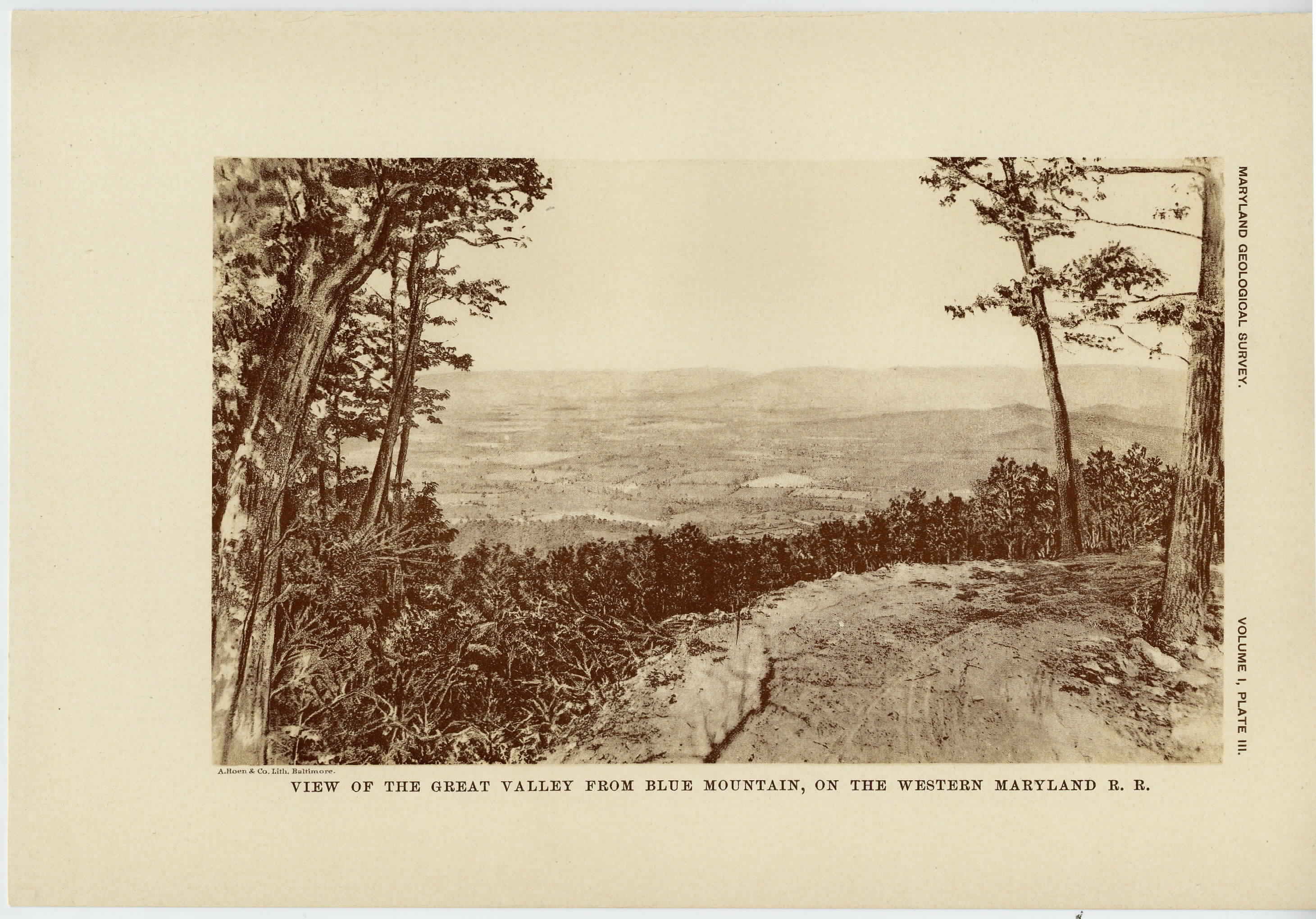
[The next page is an image: View of the Great Valley from Blue Mountain, on the Western Maryland Railroad]

104 HISTORICAL SKETCH

In July, 1892, Mr. C. D. Walcott, the present director, made an
examination of the Blue Ridge and South Mountain region and
definitely determined the Cambrian age of its quartzites. A state-
ment of the results of this investigation was set forth in two papers,
one entitled " Notes on the Cambrian Rocks of Pennsylvania and
Maryland from the Susquehanna to the Potomac, "1 and the other
" The Geologist at Blue Mountain, Maryland. " 2

In 1892 Mr. Keith, having continued his studies of South Mountain
and Blue Ridge geology into Virginia, prepared a report on the " Ge-
ology of the Catoctin Belt. " This report describes the Blue Ridge,
South Mountain and Catoctin belts from northern Virginia through
Maryland into Pennsylvania. It treats of the character of the rocks
and their alteration, the general geologic relations and structures,
and reviews the geomorphic development of the region. 3

In the coal fields of western Maryland two investigations were made.
In 1886 Prof. I. C. White made an examination of the coal fields of
West Virginia, in which incidentally some study was made of the
coal basins of Western Maryland. The results of these and some
later observations by Professor White were published by the survey
in a report entitled " Stratigraphy of the Bituminous Coal Field in
Pennsylvania, Ohio and West Virginia. " 4

In the autumn of 1894 a party was organized under the direction
of Mr. Bailey Willis for the mapping of the Piedmont quadrangle,
which covers the southern part of Garrett county, Maryland. The
geologic work was done by Messrs. N. H. Darton and J. A. Taff. The
product is the Piedmont folio, No. 28, Geologic Atlas of the United
States, which was published in 1896.

Coastal Plain.

In July, 1883, the Potomac Division of Geology was organized, in
charge of W J McGee, for the purpose of studying the Coastal Plain

1 Amer. Jour. Sci. 3d series, vol. xliv, pp. 469-482.

2 Nat. Geog. Mag., vol. v, pp. 84-88; Sci. Am. Supp., vol. xxxvii, pp. 14, 753-
14, 754.

3 Fourteenth Ann. Rept. U. S. Geol. Survey, part ii, 1894, pp. 285-395, pls.
xix-xxxix.

4 Bull. U. S. Geol. Survey No. 65, 1891, 212 pages, plates and maps.


clear space
clear space
white space

Please view image to verify text. To report an error, please contact us.
Maryland Geological Survey, Volume 1, 1897
Volume 423, Page 104   View pdf image (33K)
 Jump to  
  << PREVIOUS  NEXT >>


This web site is presented for reference purposes under the doctrine of fair use. When this material is used, in whole or in part, proper citation and credit must be attributed to the Maryland State Archives. PLEASE NOTE: The site may contain material from other sources which may be under copyright. Rights assessment, and full originating source citation, is the responsibility of the user.


Tell Us What You Think About the Maryland State Archives Website!


An Archives of Maryland electronic publication.
For information contact mdlegal@mdarchives.state.md.us.

©Copyright  October 06, 2023
Maryland State Archives