 |
||||
|
DEPARTMENT OF HOUSING AND COMMUNITY DEVELOPMENT, MARYLAND HISTORICAL TRUST (Historic Sites Survey) var.d. MSA SE16-10 Image No: se16-10-0424 Enlarge and print image (25K) |
 |
||||
|
DEPARTMENT OF HOUSING AND COMMUNITY DEVELOPMENT, MARYLAND HISTORICAL TRUST (Historic Sites Survey) var.d. MSA SE16-10 Image No: se16-10-0424 Enlarge and print image (25K) |
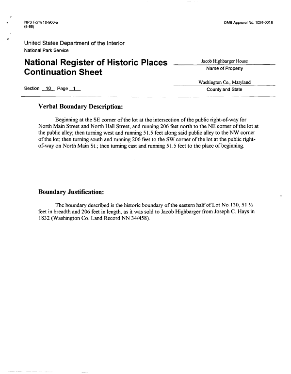
| NPS Form 10-900-a OMB Approval No. 1024-0018 (8-86) United States Department of the Interior National Park Service National Register of Historic Places ____JacobHighbargerHouse r* t.~ ts *>i_ t. Name of Property Continuation Sheet Washington Co., Maryland Section 10 Page 1 County and State Verbal Boundary Description: Beginning at the SE corner of the lot at the intersection of the public right-of-way for North Main Street and North Hall Street, and running 206 feet north to the NE corner of the lot at the public alley; then turning west and running 51.5 feet along said public alley to the NW corner of the lot; then turning south and running 206 feet to the SW corner of the lot at the public right-of-way on North Main St.; then turning east and running 51.5 feet to the place of beginning. Boundary Justification: The boundary described is the historic boundary of the eastern half of Lot No 130, 51 V? feet in breadth and 206 feet in length, as it was sold to Jacob Highbarger from Joseph C. Hays in 1832 (Washington Co. Land Record NN 34/458), |