 |
||||
|
DEPARTMENT OF HOUSING AND COMMUNITY DEVELOPMENT, MARYLAND HISTORICAL TRUST (Historic Sites Survey) var.d. MSA SE16-7 Image No: se16-7-0327 Enlarge and print image (30K) |
 |
||||
|
DEPARTMENT OF HOUSING AND COMMUNITY DEVELOPMENT, MARYLAND HISTORICAL TRUST (Historic Sites Survey) var.d. MSA SE16-7 Image No: se16-7-0327 Enlarge and print image (30K) |
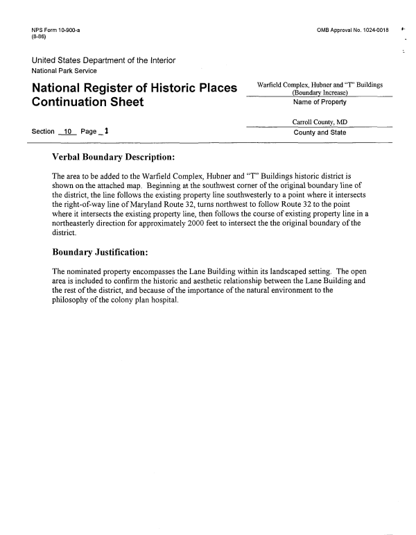
| NPS Form 10-900-a OMB Approval No. 1024-0018 (8-86) United States Department of the Interior National Park Service National Register of Historic Places WarfieldCMgS^^7'Buildings Continuation Sheet Name of Property Carroll County, MD Section 10 Page _1 County and State Verbal Boundary Description: The area to be added to the Warfield Complex, Hubner and "T" Buildings historic district is shown on the attached map. Beginning at the southwest corner of the original boundary line of the district, the line follows the existing property line southwesterly to a point where it intersects the right-of-way line of Maryland Route 32, turns northwest to follow Route 32 to the point where it intersects the existing property line, then follows the course of existing property line in a northeasterly direction for approximately 2000 feet to intersect the the original boundary of the district. Boundary Justification: The nominated property encompasses the Lane Building within its landscaped setting. The open area is included to confirm the historic and aesthetic relationship between the Lane Building and the rest of the district, and because of the importance of the natural environment to the philosophy of the colony plan hospital. |