 |
||||
|
DEPARTMENT OF HOUSING AND COMMUNITY DEVELOPMENT, MARYLAND HISTORICAL TRUST (Historic Sites Survey) var.d. MSA SE16-6 Image No: se16-6-0274 Enlarge and print image (29K) |
 |
||||
|
DEPARTMENT OF HOUSING AND COMMUNITY DEVELOPMENT, MARYLAND HISTORICAL TRUST (Historic Sites Survey) var.d. MSA SE16-6 Image No: se16-6-0274 Enlarge and print image (29K) |
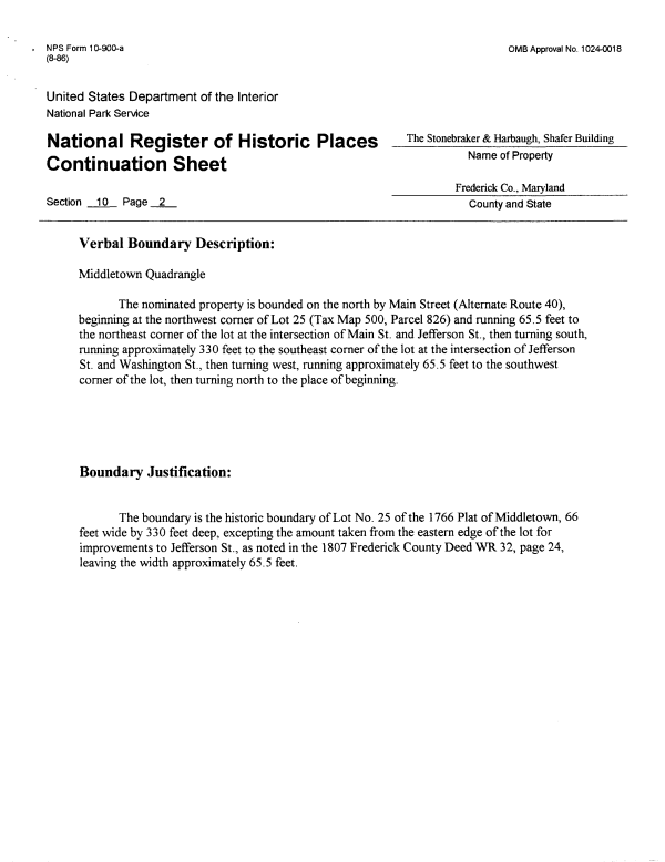
| NFS Form 1 0-900-a (8-86) OMB Approval No. 1024-0018 United States Department of the Interior National Park Service National Register of Historic Continuation Sheet Section 10 Page 2 The Stonebraker & Hartaugh, Shafer Building Frederick Co., Maryland County and State Verbal Boundary Description: Middletown Quadrangle The nominated property is bounded on the north by Main Street (Alternate Route 40), beginning at the northwest corner of Lot 25 (Tax Map 500, Parcel 826) and running 65.5 feet to the northeast corner of the lot at the intersection of Main St. and Jefferson St., then turning south, running approximately 330 feet to the southeast corner of the lot at the intersection of Jefferson St. and Washington St., then turning west, running approximately 65.5 feet to the southwest corner of the lot, then turning north to the place of beginning. Boundary Justification: The boundary is the historic boundary of Lot No. 25 of the 1766 Plat of Middletown, 66 feet wide by 330 feet deep, excepting the amount taken from the eastern edge of the lot for improvements to Jefferson St., as noted in the 1807 Frederick County Deed WR 32, page 24, leaving the width approximately 65.5 feet. |