 |
||||
|
DEPARTMENT OF HOUSING AND COMMUNITY DEVELOPMENT, MARYLAND HISTORICAL TRUST (Historic Sites Survey) var.d. MSA SE16-4 Image No: se16-4-0201 Enlarge and print image (38K) |
 |
||||
|
DEPARTMENT OF HOUSING AND COMMUNITY DEVELOPMENT, MARYLAND HISTORICAL TRUST (Historic Sites Survey) var.d. MSA SE16-4 Image No: se16-4-0201 Enlarge and print image (38K) |
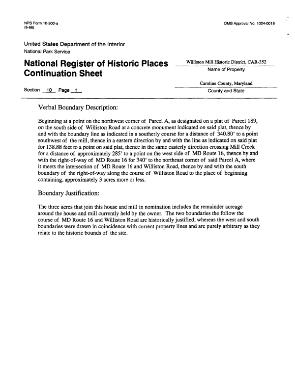
| NFS Form 10-900-a OMB Approval No. 1024-0018 (8-86) United States Department of the Interior National Park Service National Register of Historic Places wmiston Mi"Historic District> CAR-352 n .. .. n. . Name of Property Continuation Sheet Caroline County, Maryland Section 10 Page 1 County and State Verbal Boundary Description: Beginning at a point on the northwest corner of Parcel A, as designated on a plat of Parcel 189, on the south side of Williston Road at a concrete monument indicated on said plat, thence by and with the boundary line as indicated in a southerly course for a distance of 340.80' to a point southwest of the mill, thence in a eastern direction by and with the line as indicated on said plat for 138.88 feet to a point on said plat, thence in the same easterly direction crossing Mill Creek for a distance of approximately 285' to a point on the west side of MD Route 16, thence by and with the right-of-way of MD Route 16 for 340' to the northeast corner of said Parcel A, where it meets the intersection of MD Route 16 and Williston Road, thence by and with the south boundary of the right-of-way along the course of Williston Road to the place of beginning containing, approximately 3 acres more or less. Boundary Justification: The three acres that join this house and mill in nomination includes the remainder acreage around the house and mill currently held by the owner. The two boundaries the follow the course of MD Route 16 and Williston Road are historically justified, whereas the west and south boundaries were drawn in coincidence with current property lines and are purely arbitrary as they relate to the historic bounds of the site. |