 |
||||
|
DEPARTMENT OF HOUSING AND COMMUNITY DEVELOPMENT, MARYLAND HISTORICAL TRUST (Historic Sites Survey) var.d. MSA SE16-3 Image No: se16-3-0116 Enlarge and print image (34K) |
 |
||||
|
DEPARTMENT OF HOUSING AND COMMUNITY DEVELOPMENT, MARYLAND HISTORICAL TRUST (Historic Sites Survey) var.d. MSA SE16-3 Image No: se16-3-0116 Enlarge and print image (34K) |
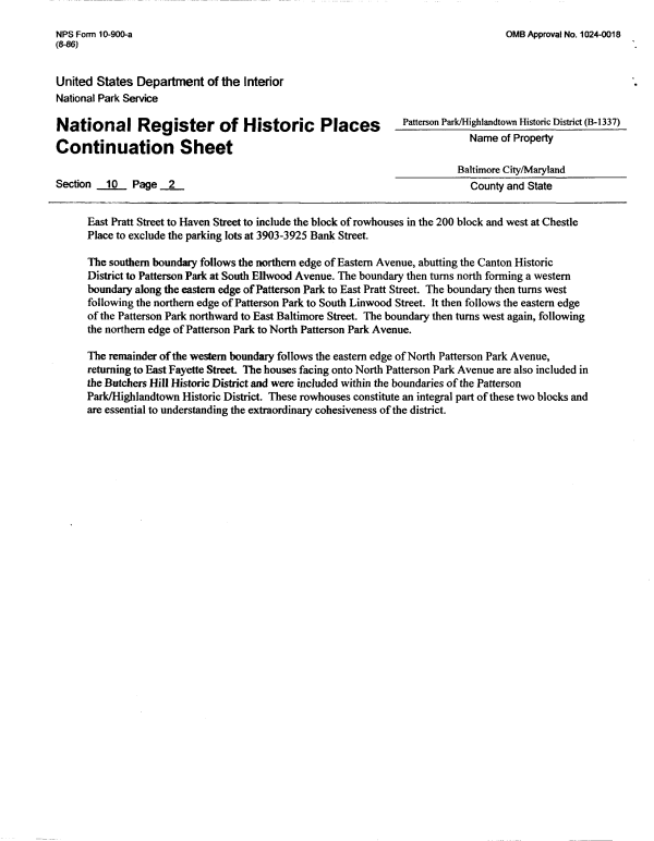
| NFS Form 1 0-900-a OMB Approval No. 1 024-001 8 (8-86) United States Department of the Interior National Park Service Pattereon National Register of Historic Places ^ .. .. -„ . Name of Property Continuation Sheet Baltimore City/Maryland Section 10 Page 2 County and State East Pratt Street to Haven Street to include the block of rowhouses in the 200 block and west at Chestle Place to exclude the parking lots at 3903-3925 Bank Street. The southern boundary follows the northern edge of Eastern Avenue, abutting the Canton Historic District to Patterson Park at South Elhvood Avenue. The boundary then turns north forming a western boundary along the eastern edge of Patterson Park to East Pratt Street. The boundary then turns west following the northern edge of Patterson Park to South Linwood Street. It then follows the eastern edge of the Patterson Park northward to East Baltimore Street. The boundary then turns west again, following the northern edge of Patterson Park to North Patterson Park Avenue. The remainder of the western boundary follows the eastern edge of North Patterson Park Avenue, returning to East Fayette Street The houses facing onto North Patterson Park Avenue are also included in the Butchers Hill Historic District and were included within the boundaries of the Patterson Park/Highlandtown Historic District. These rowhouses constitute an integral part of these two blocks and are essential to understanding the extraordinary cohesiveness of the district. |