
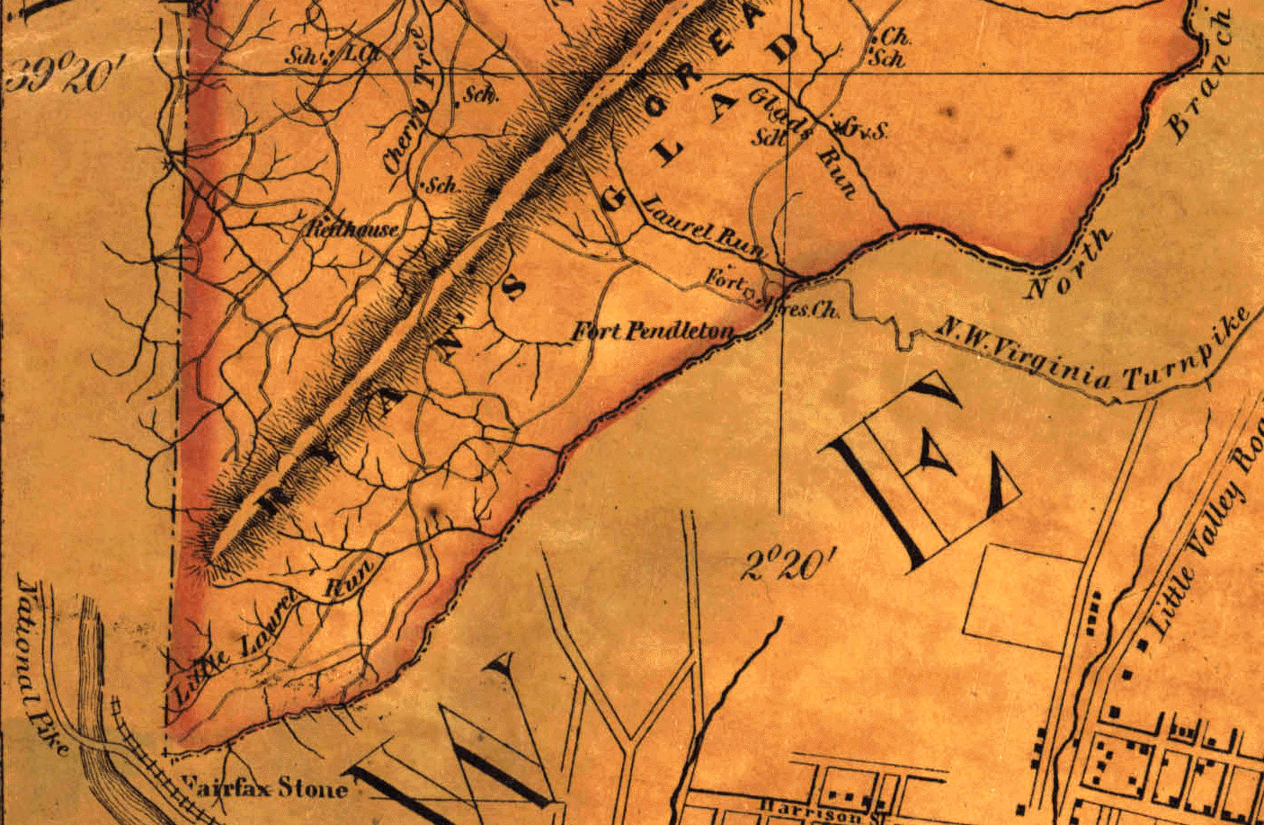
detail from the 1885 Martenet Map (MSA SC 5087-13-2) showing the southern boundary of Maryland from the Fairfax stone
msa_sc_1399_1_101.jpg
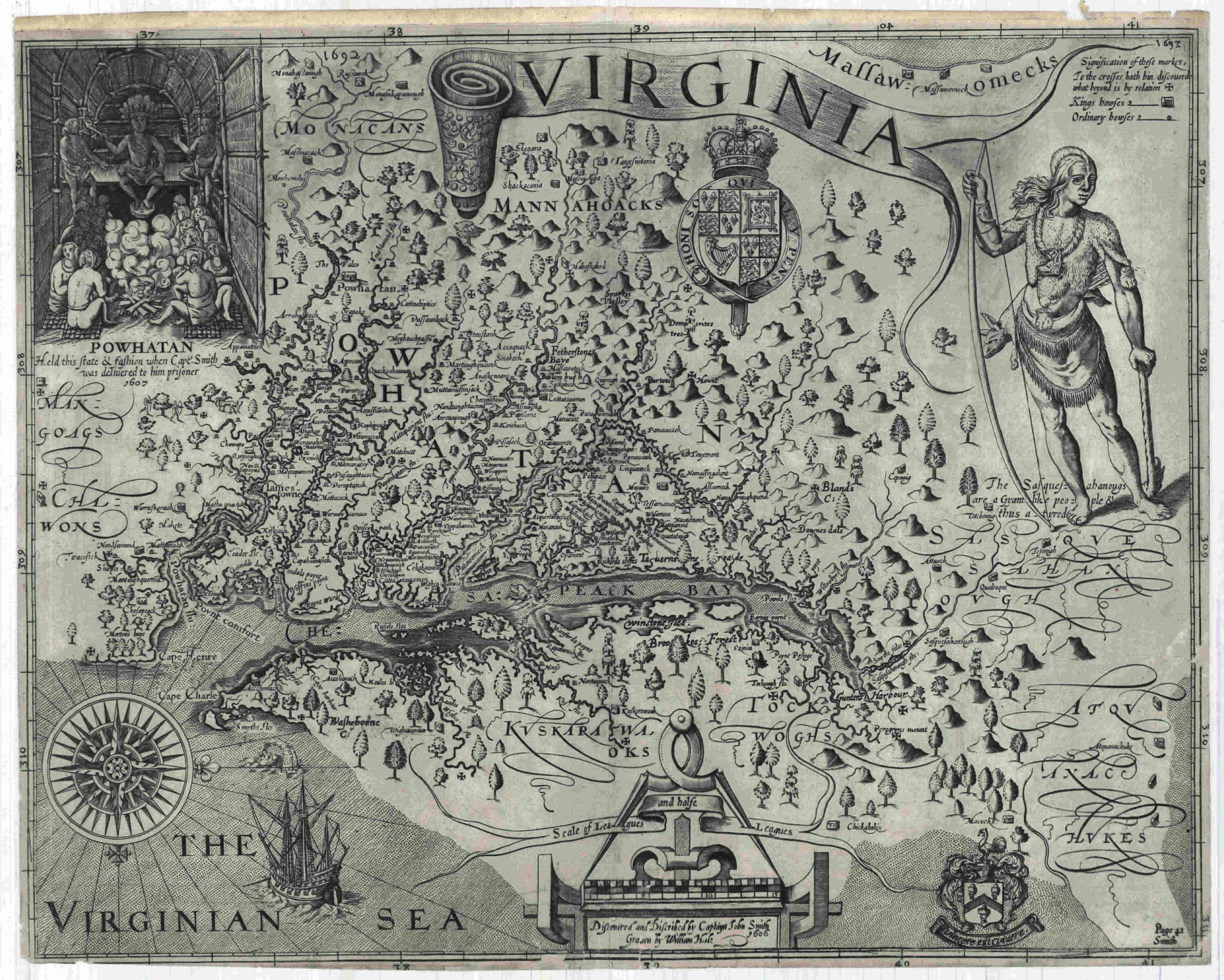
Captain John Smith's map of Virginia, 1606 (1612). MSA SC 1399-1-101
detail from the 1885 Martenet Map (MSA SC 5087-13-2) showing
the southern boundary of Maryland from the Fairfax stone

detail from the Huntingfield Collection, Martenet Atlas, 1865, for
use in the schools, m000412a.tif
detail from 1865 Martenet wall map of Maryland, MSA SC 5200.
This map is the same one that was given to West Virginia from the Maryland
State Library Collection and used in West Virginia's response to Maryland's
1890 suit before the Supreme Court of the U.S. [from ecp-cd-251; msa s
50-517]
Note that the court cases involving the southern boundary did not refer to the Captain Snow map which was purportedly drawn ca. 1754.
See the Snow map at the Library of Congress American Memory web site:
