ILLUSTRATIONS.
PLATE
FACING
PAGE
I.
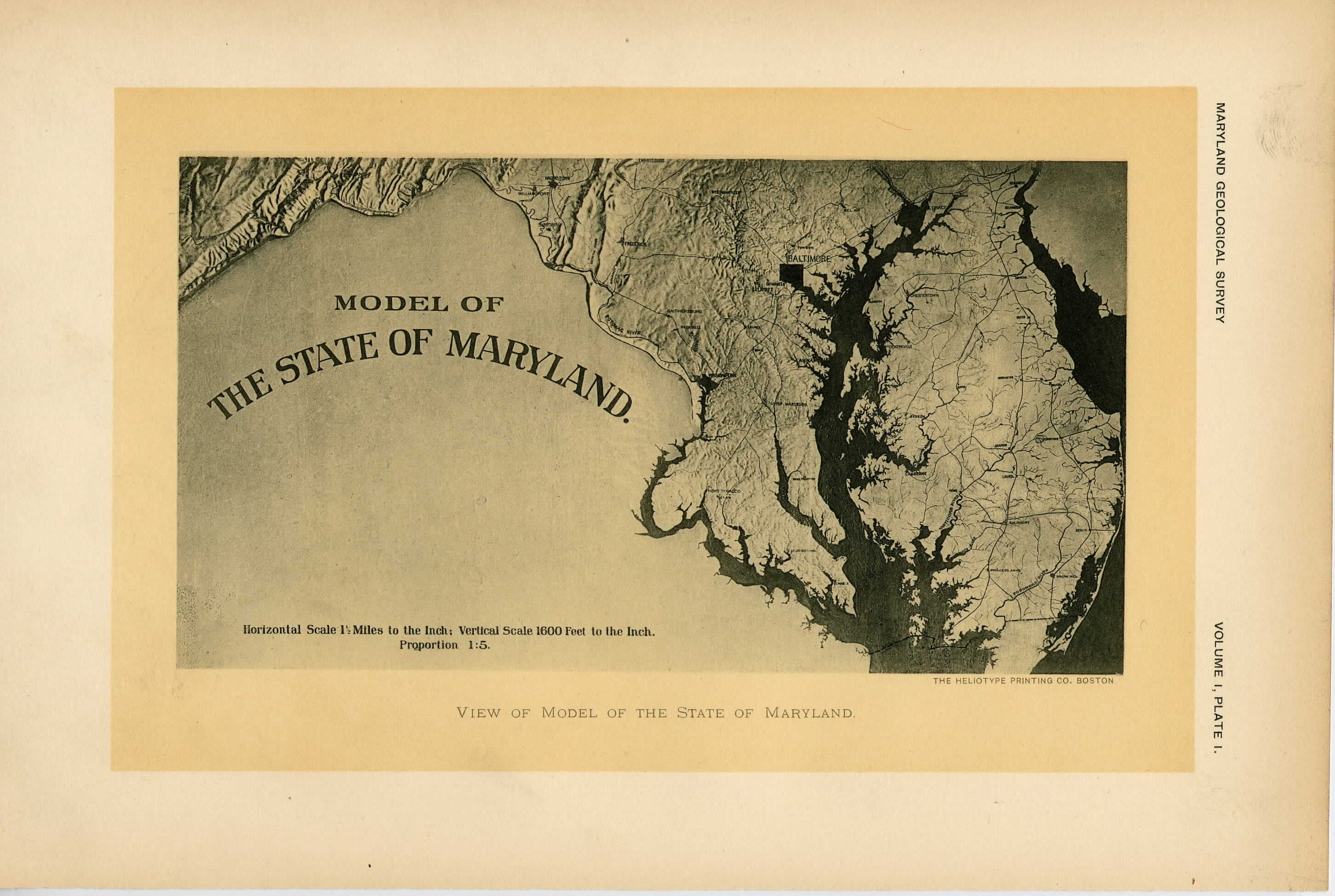
View of Model of the State of Maryland............................
23
II.
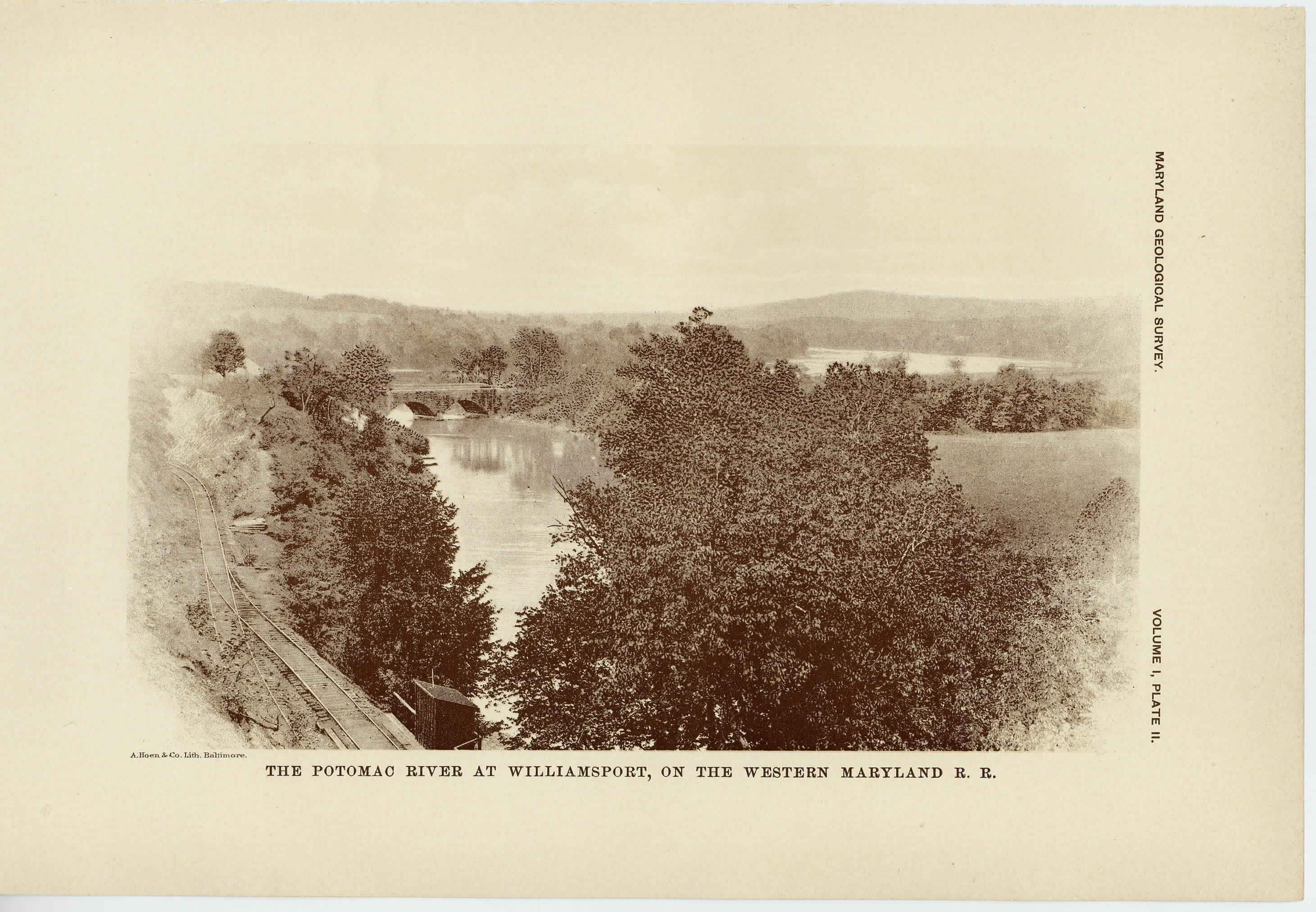
The Potomac River Valley at Williamsport, on the Western Maryland Railroad......................................................
64
III.
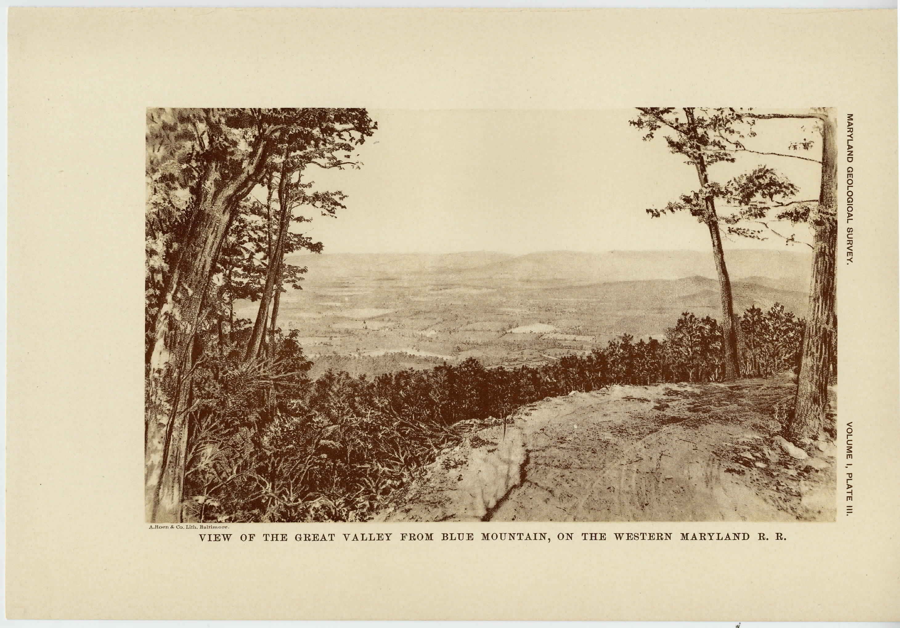
View of the Great Valley from Blue Mountain, on the Western Maryland Railroad................................................
104
IV.
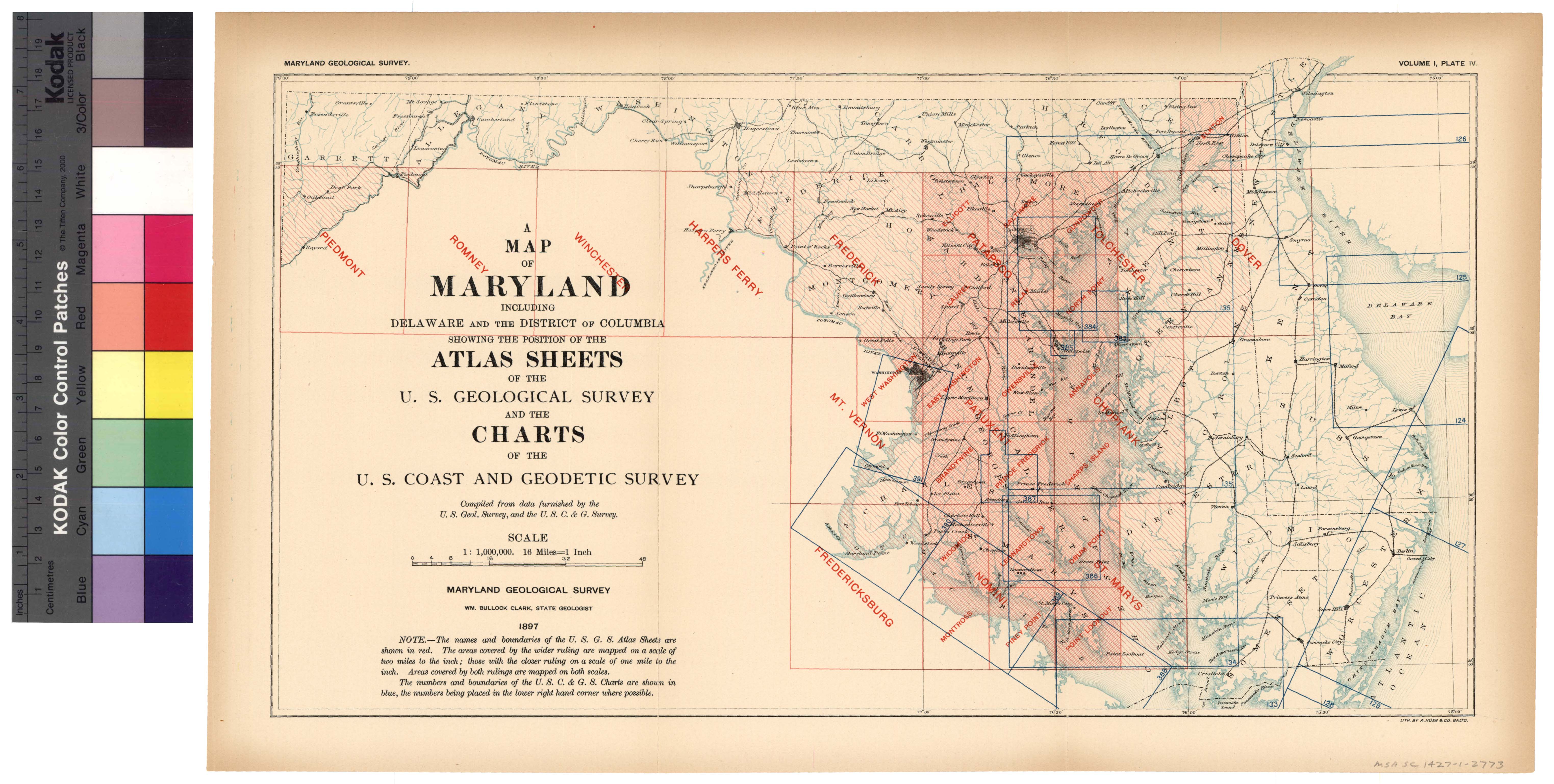
Map showing Atlas Sheets and Charts in Maryland..................
114
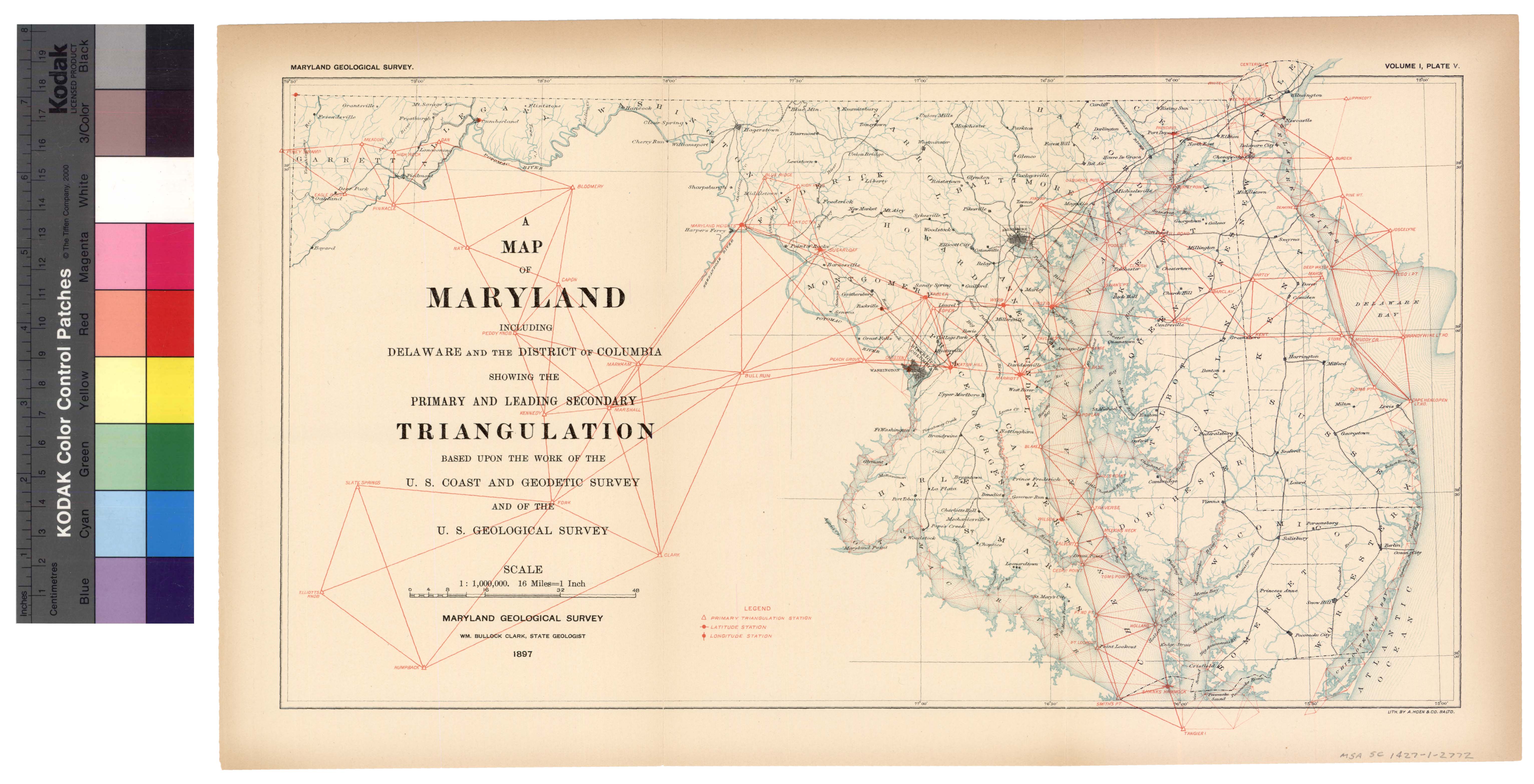
V.
Map showing leading Triangulation in Maryland....................
122
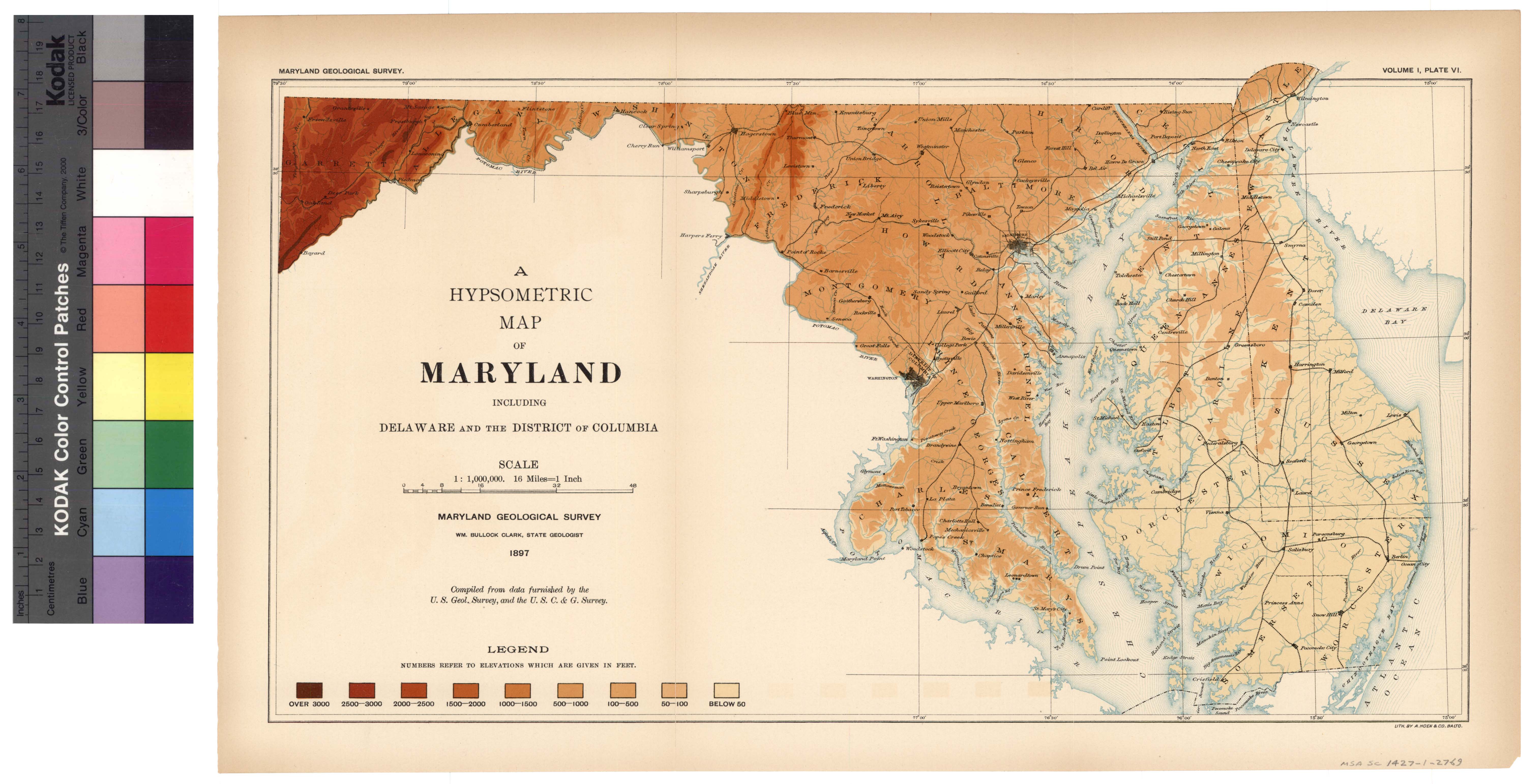
VI.
Hypsometric Map of Maryland....................................
142
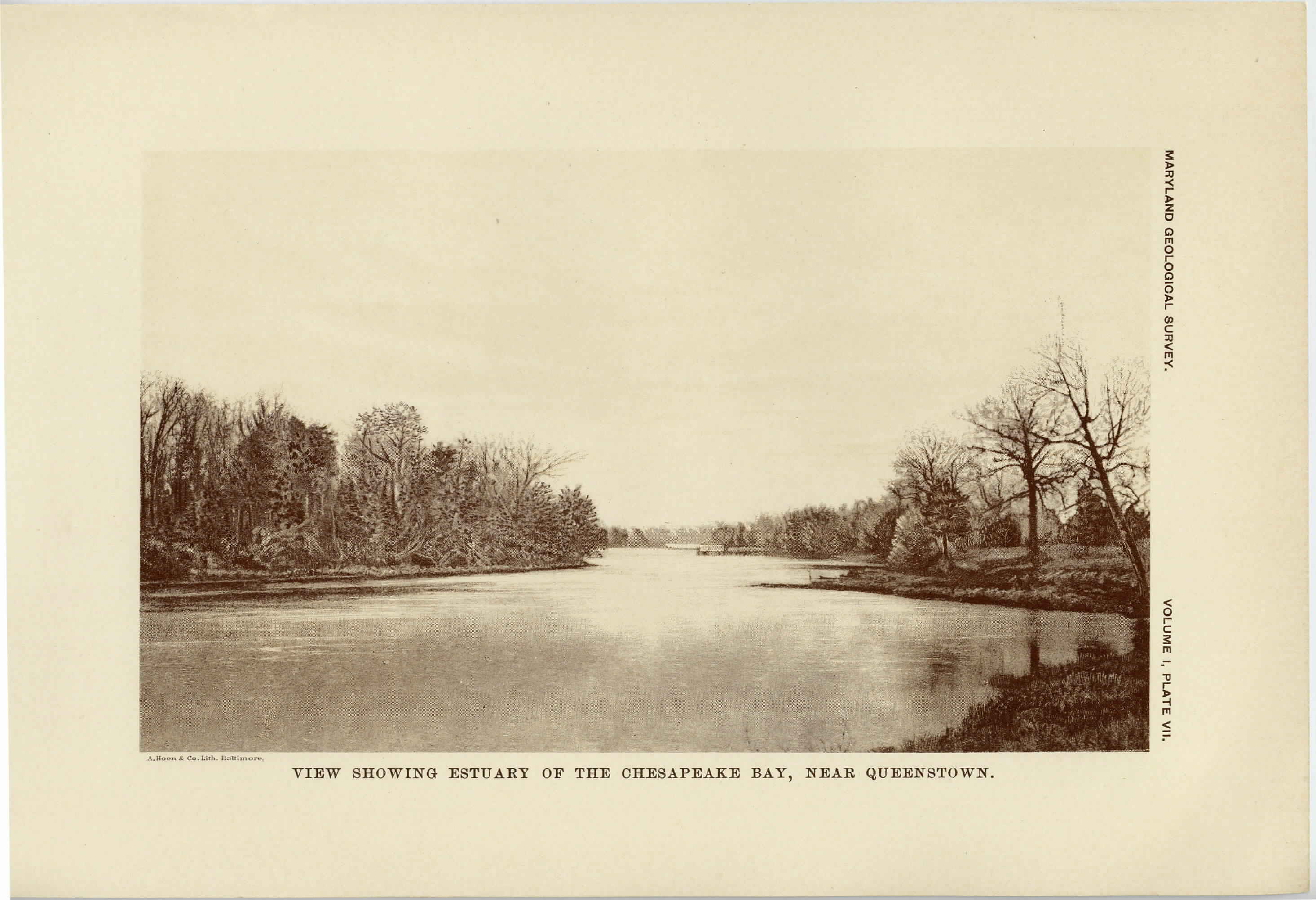
VII.
View showing Estuary of the Chesapeake Bay near Queenstown......
146
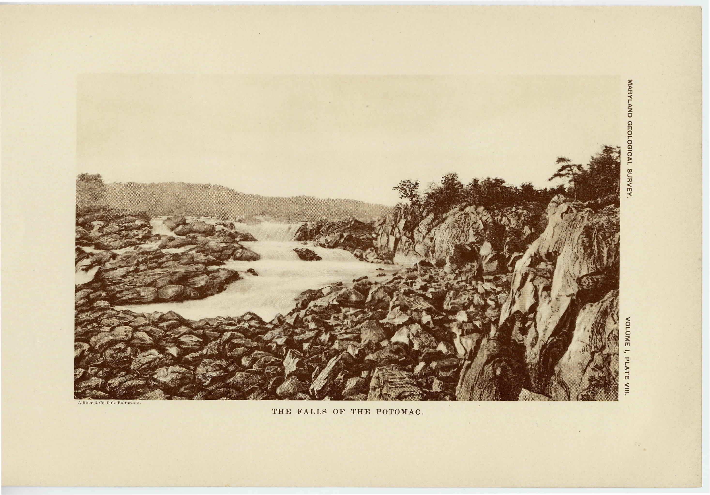
VIII.
The Falls of the Potomac..........................................
148
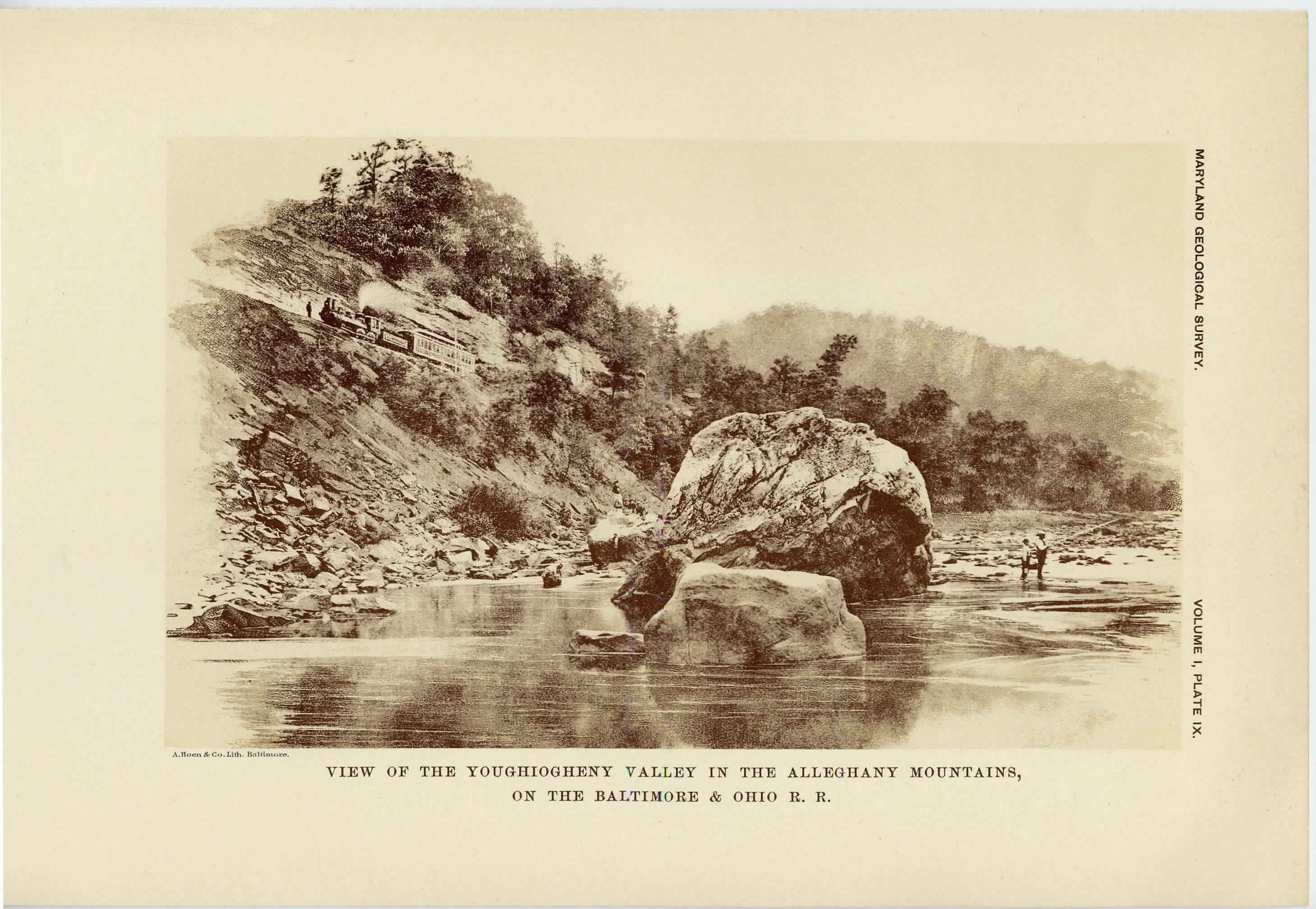
IX.
View of the Youghiogheny Valley in the Alleghany Mountains, on the Baltimore and Ohio Railroad..................................
152
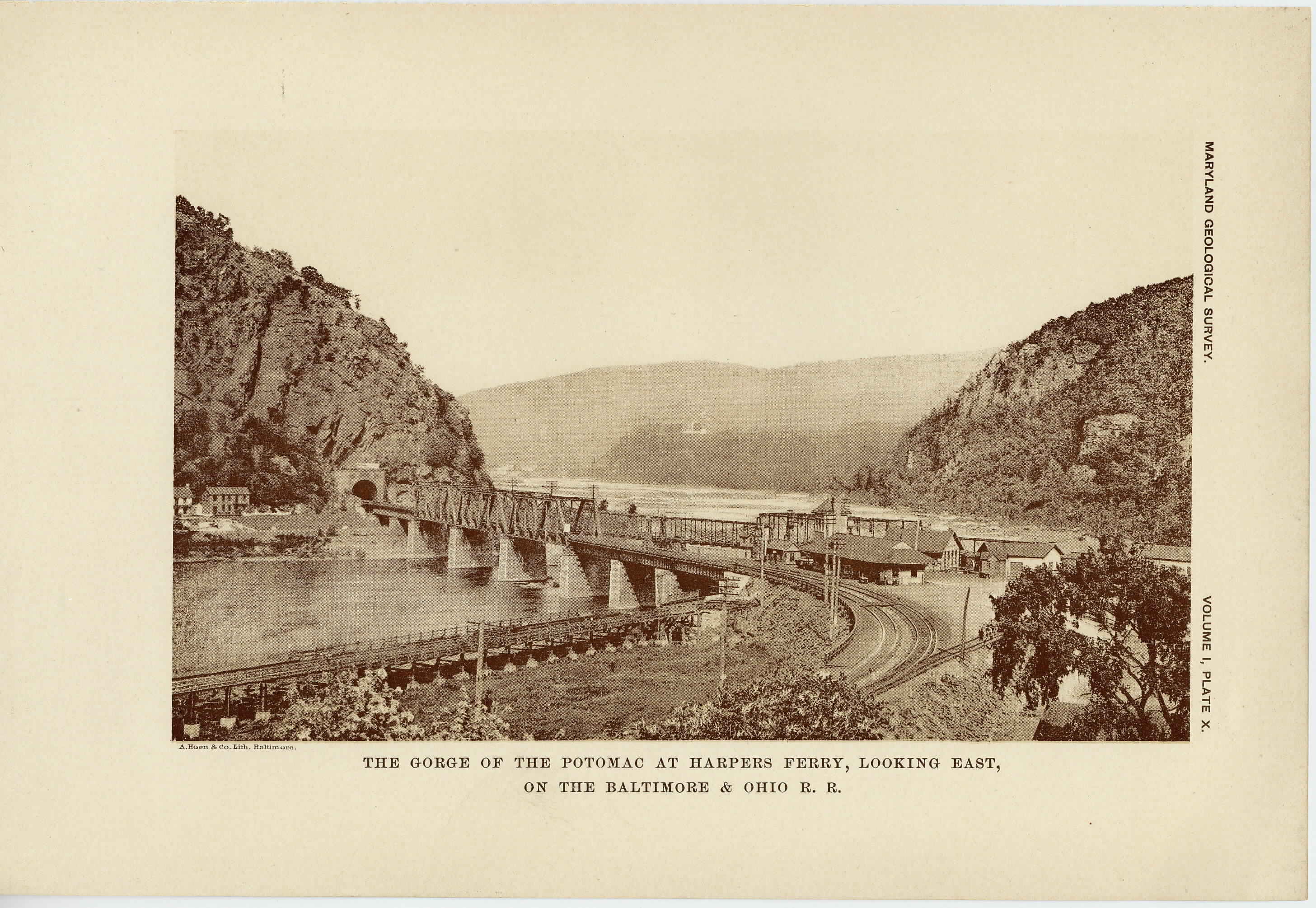
X.
The Gorge of the Potomac at Harper's Ferry looking east, on the Baltimore and Ohio Railroad......................................
176
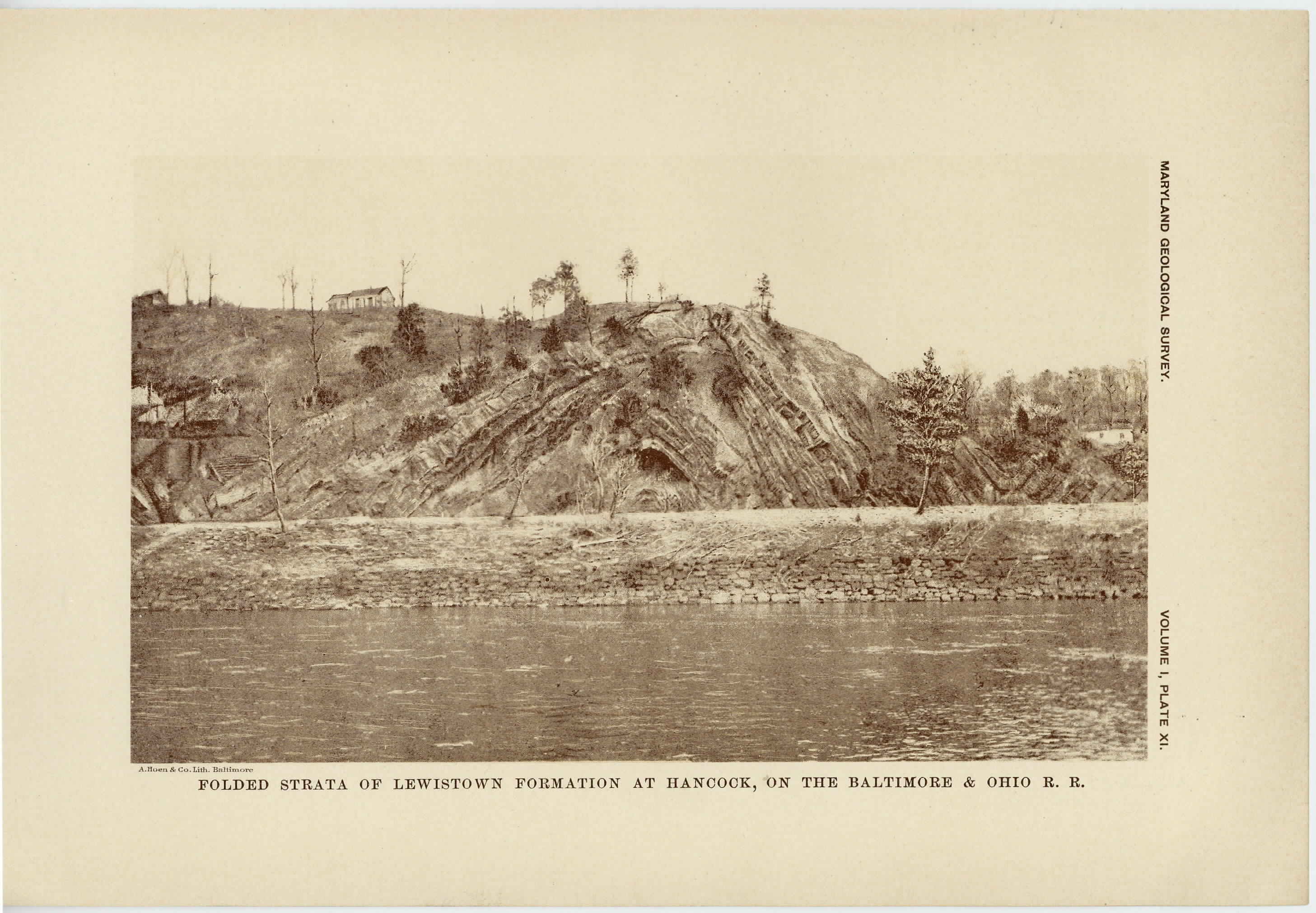
XI.
Folded Strata of Lewistown Formation at Hancock, on the Baltimore and Ohio Railroad............................................
182
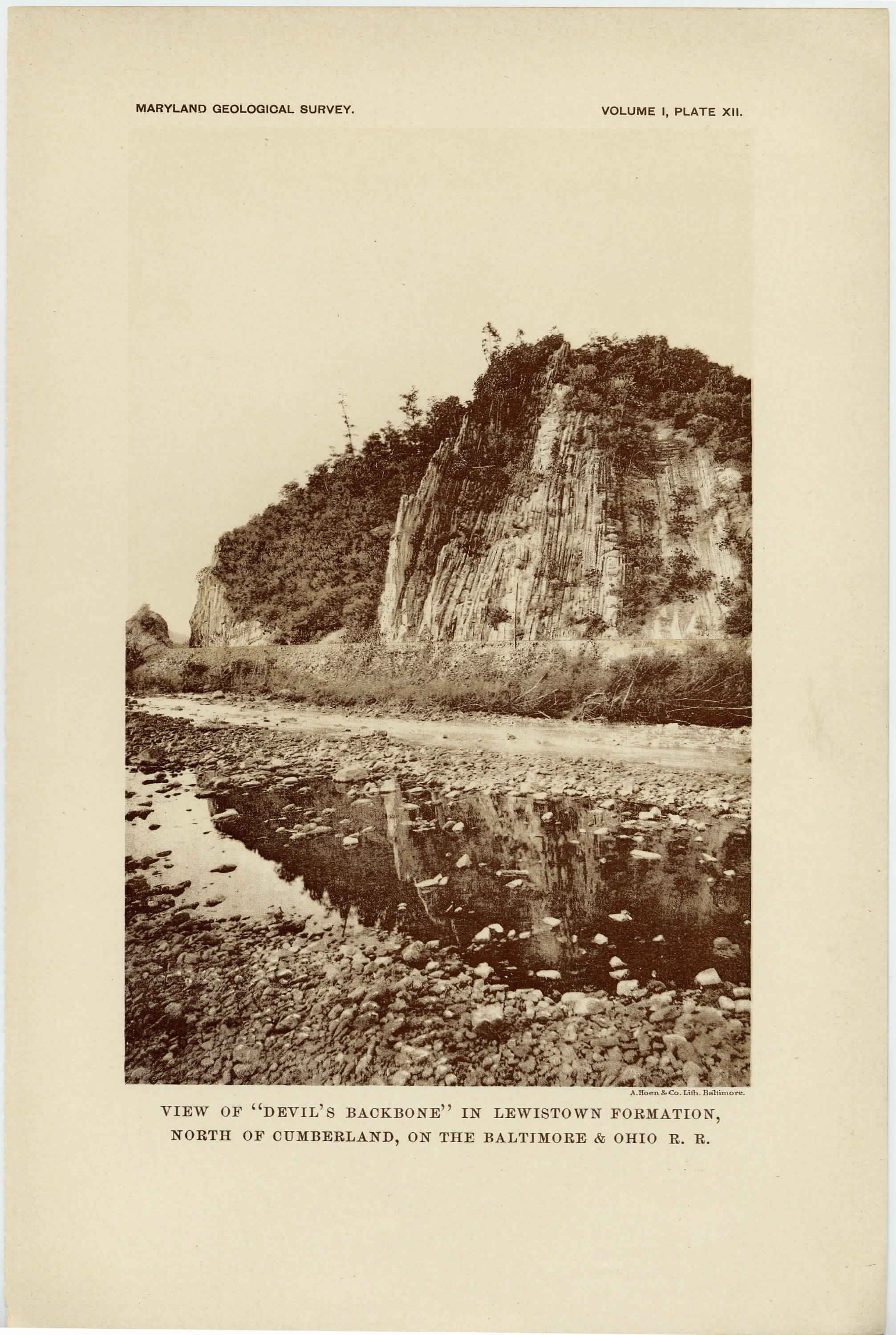
XII.
View of "Devil's Backbone" in Lewistown Formation north of Cumberland, on the Baltimore and Ohio Railroad..................
186
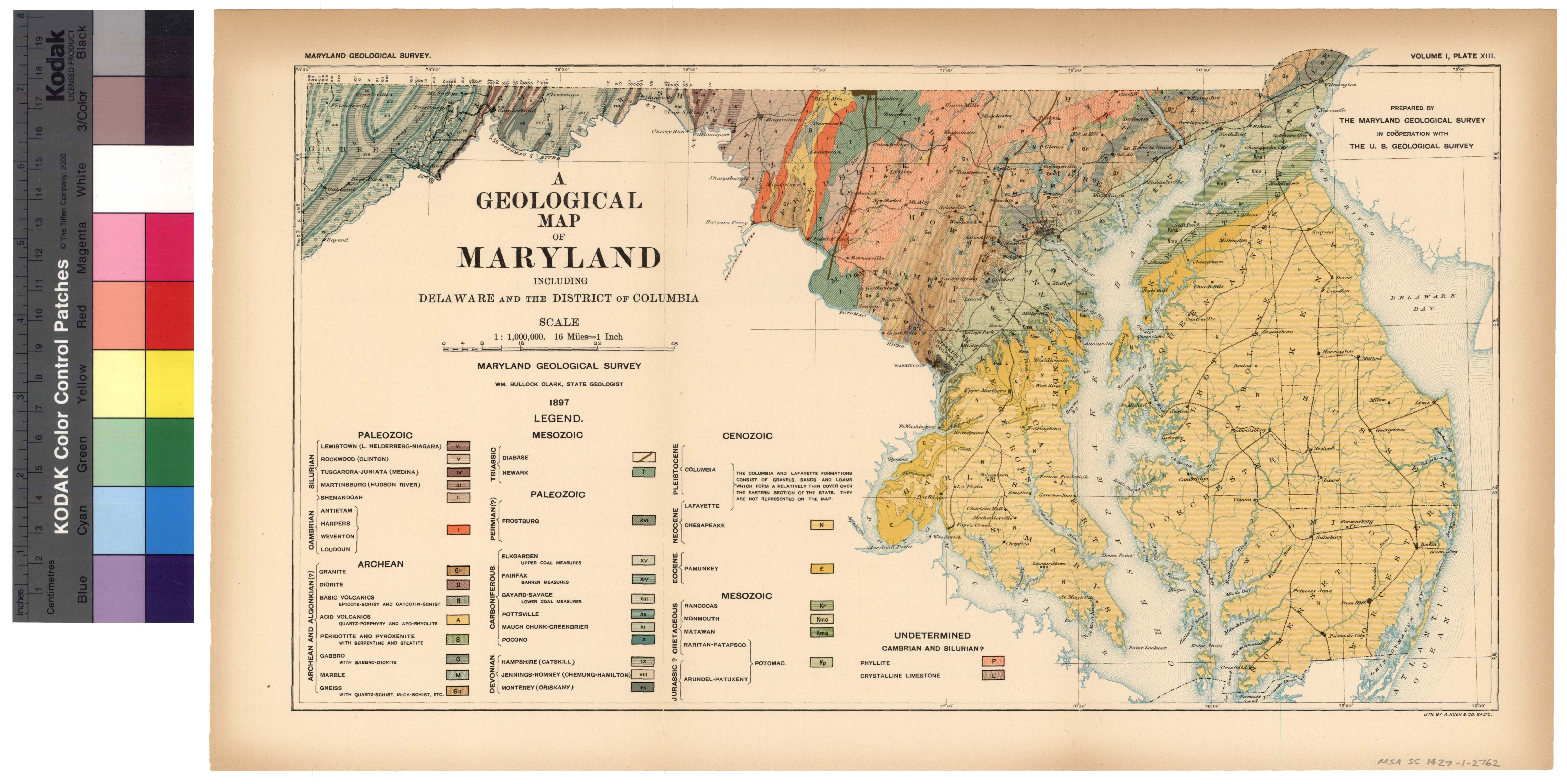
XIII.
Geological Map of Maryland......................................
204
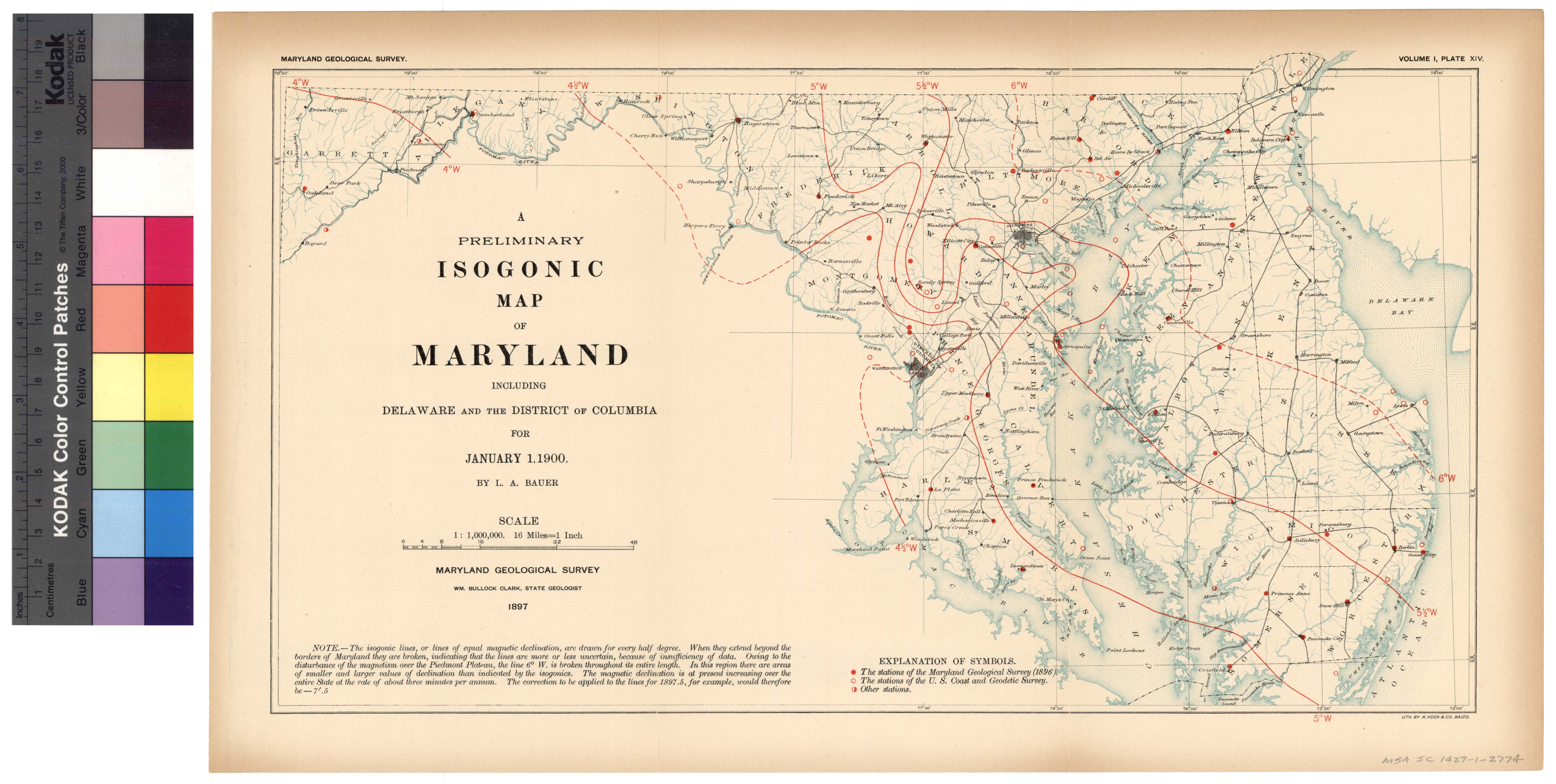
XIV.
Isogonic Map of Maryland........................................
404
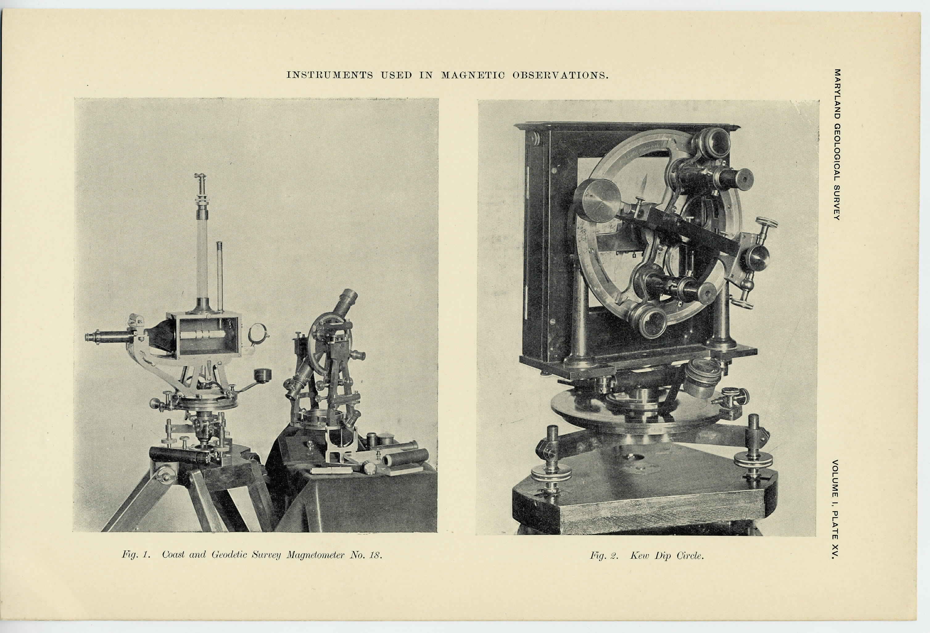
XV.
Instruments used in Magnetic Observations........................
450
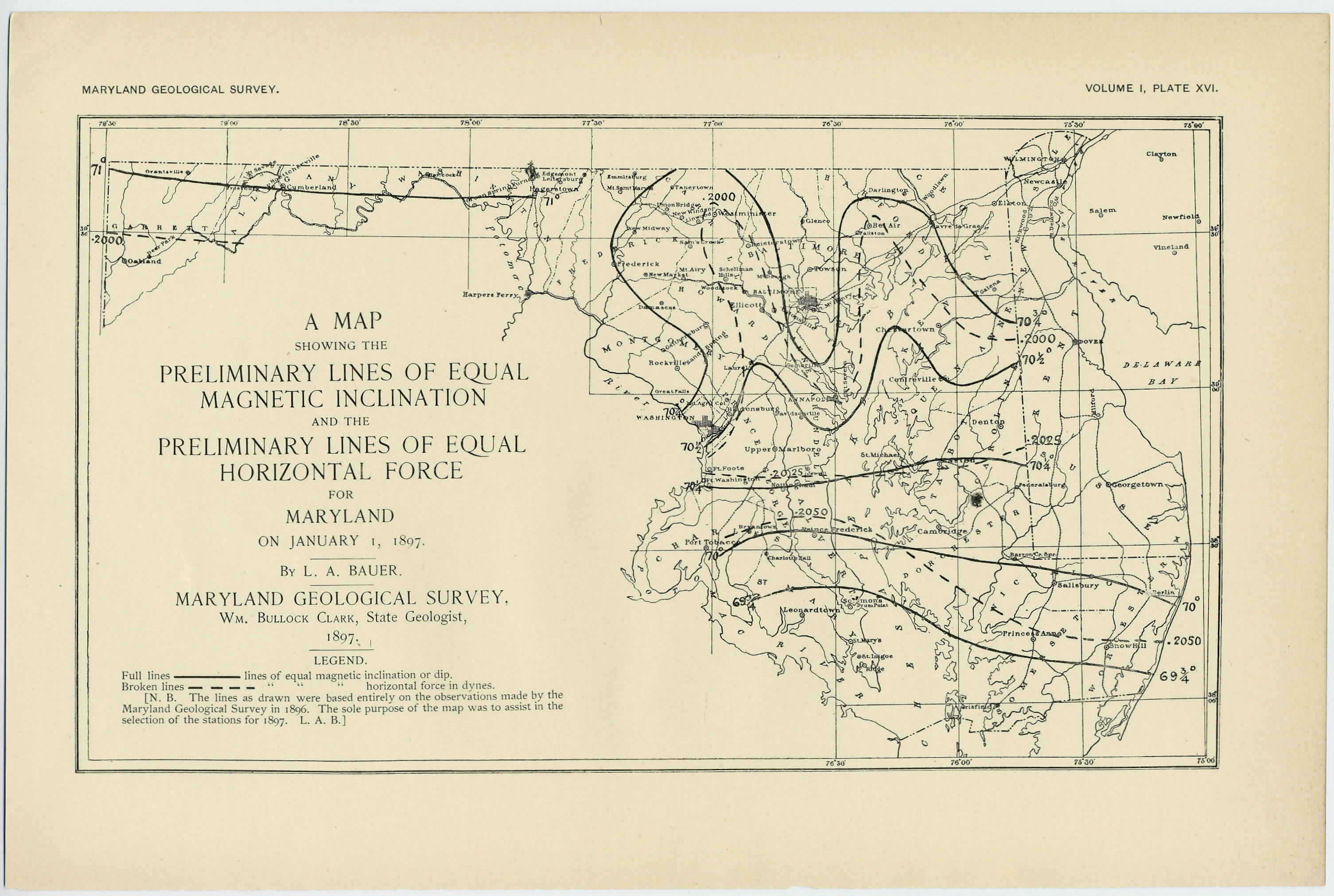
XVI.
Map showing the Preliminary Lines of Equal Magnetic Inclination and the Preliminary Lines of Equal Horizontal Force for Maryland on January 1, 1897......................................
493
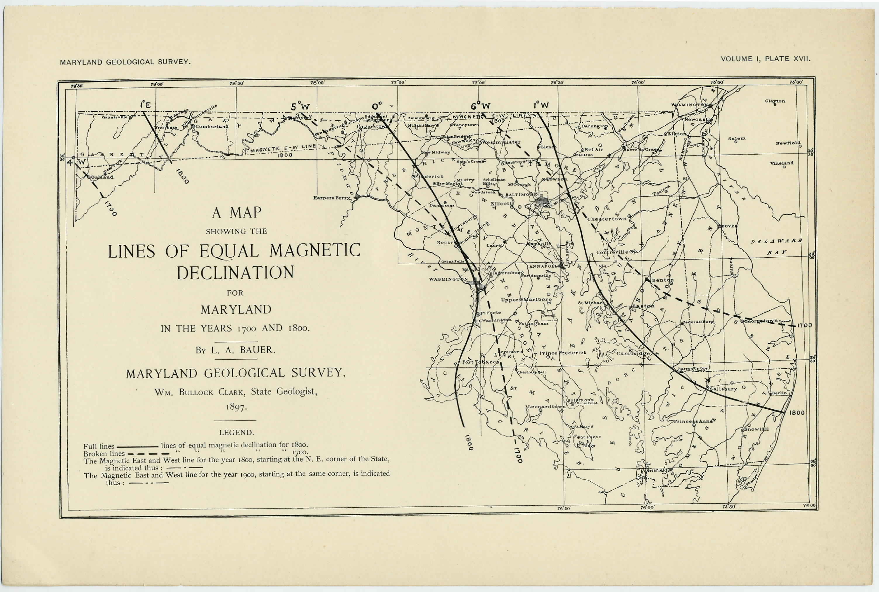
XVII.
Map showing the Lines of Equal Magnetic Declination for Maryland in the years 1700 and 1800....................................
494
An Archives of Maryland electronic publication. For information contact mdlegal@mdarchives.state.md.us.